What is recorded here
In improved pasture, on a level area, on upper edge of an E-facing slope. Identified by aerial photography (Ref. ASIAP (37) 6, 7, 10, 11) as a sub-circular cropmark conjoined to enclosure (TS077-114001-) to N. The remains of a shallow, semi-circular depression defined by the remains of a levelled bank which is barely traceable c. SW-W-NW. The monument has been levelled off downslope NW-E-SW and the field boundary to the W has been removed.
Compiled by: Jean Farrelly
Date of upload: 26 August 2011
This remains an important historical record, but the official description says the monument is no longer visible or has been destroyed. The monument record does not grant public access. Check the route and ask the landowner before entering private land.
- What survives
- No visible remains or recorded as destroyed
Places near here
 Site of Old VillageSettlement deserted, medieval · 529 yd
 Enclosure in BaptistgrangeEnclosure · 583 yd
 Castle (in ruins)Castle, unclassified · 621 yd
 CastleCastle, motte · 1018 yd
 Pedunculate OakPedunculate Oak · 1342 yd
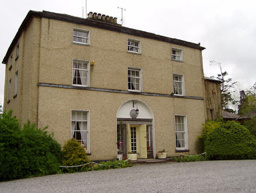 Clonacody Housecountry house · 1419 yd
 Catholic Church of Saint John the Baptistchurch/chapel · 1474 yd
 Persian WalnutPersian Walnut · 1.3 mi
 East GateMemorial · 2.7 mi
 CarrickbrockMountain / peak · 3.8 mi
 Kilknockan HillMountain / peak · 3.8 mi
 Enclosure in SladaghEnclosure · 1178 yd