What is recorded here
Half-buried in Balrath Demesne, a D-shaped enclosure lies beneath the grass, its curved edge marked by a forgotten drain and its straight side joined to a post-medieval field boundary. It may predate those fields, perhaps belonging to someone who lived there before the land was divided into large working patches. The shape is small enough to walk around in a minute, yet large enough to have held a house, a yard, or a sacred pause in the landscape.
Situated on a gently undulating landscape. The cropmark of a D-shaped enclosure (dims c. 45m NW-SE; c. 35m NE-SW) defined by a single fosse or drain is visible on Aerial Premium (2013-18). There are traces of an outer fosse SW-NNW and E-SE. The straight side at SW is part of a straight NW-SW field drain. The drain is part of a post-medieval field system of large fields that is not marked on any map but the enclosure could be older. The enclosure is also faintly visible on Google Earth (24/03/2017, 07/05/2017; 16/05/2018). It was first reported by Jean Charles Caillére.
See the attached enhanced view from Aerial Premium (2103-18)
Compiled by: Michael Moore
Date of upload: 21 February 2022
The monument record does not grant public access. Check the route and ask the landowner before entering private land.
- What survives
- Recorded monument
Places near here
 Curraghmore WoodForest · 584 yd
 Captain's WoodWood · 807 yd
 Grave YardGraveyard · 1472 yd
 Tober UltanHoly well · 1517 yd
 CastleCastle, motte · 1.5 mi
 BoglandMemorial · 1.6 mi
 CloncatMountain / peak · 1.8 mi
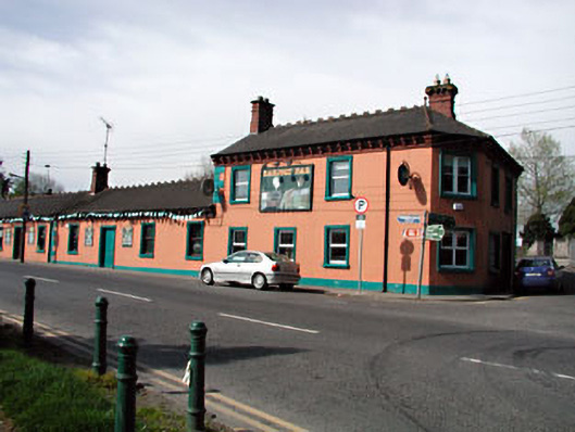 Railway Househotel · 2.1 mi
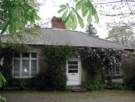 Westfield Cottagehouse · 2.1 mi
 Causey FarmHeritage attraction · 2.2 mi
 FarmaphobiaHeritage attraction · 2.2 mi
 James CarolanMemorial · 2.3 mi