What is recorded here
On a gradual NE-facing slope of hill in undulating pasture. An enclosure lies adjacent to the Cork-Dublin gas pipeline corridor, where a number of monuments were excavated in 1981-2 (Doody 1987, 9-21, 74-87), including a moated site c. 20m to the S (TS077-046001-) and a Bronze Age enclosure (TS077-046002-) and a Bronze Age ditch barrow with cist (TS077-046004-/TS077-046003-) c. 110m and c. 200m to the SW respectively. The enclosure is not indicated on the OS 6-inch maps but is depicted on the excavation plan of earthworks at Ballyveelish (Doody 1987, fig. 1.2). A circular enclosure (diam. 25.6m N-S; 26.2m E-W) defined by a low, broad, flattened bank (Wth 3.6m crest, 11.7m base; 0.3 int. H; 1m ext. H), which is not evident in the S quadrant. The bank is very broad in relation to interior which suggests that the enclosure may have been partially levelled or, if this is original, it may be an embanked barrow.
Compiled by: Jean Farrelly
Date of upload: 26 August 2011
The monument record does not grant public access. Check the route and ask the landowner before entering private land.
- What survives
- Recorded monument
Places near here
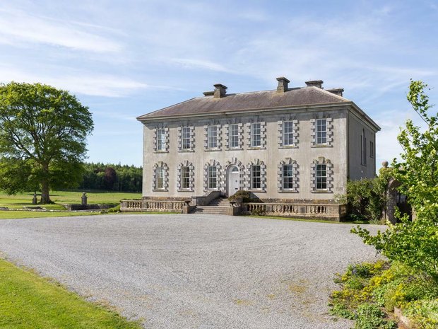 Enclosure in Ballyveelish NorthEnclosure · 122 yd
 Structure in Ballyveelish NorthStructure · 187 yd
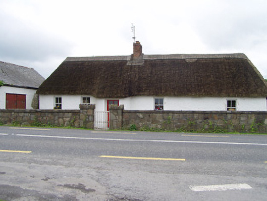 The Thatchhouse · 812 yd
 Pedunculate OakPedunculate Oak · 1.0 mi
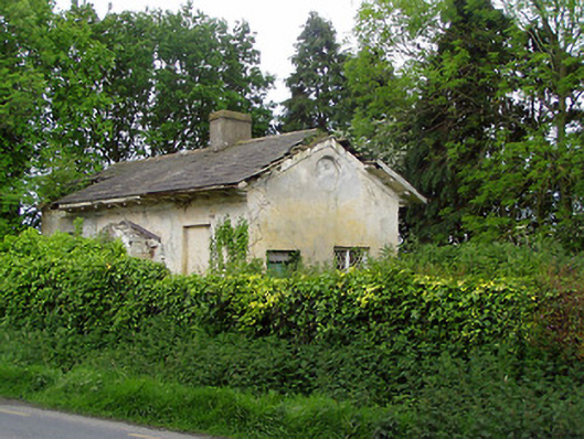 Knockeevan Housegate lodge · 1.1 mi
 CastleCastle, unclassified · 1.1 mi
 RathronanCastle, ringwork · 1.6 mi
 Persian WalnutPersian Walnut · 2.7 mi
 Francis HopkinsMemorial · 3.2 mi
 John HackettMemorial · 3.2 mi
 Main GuardHeritage attraction · 3.2 mi
 Merchant's HouseVisitor information · 3.2 mi