What is recorded here
Just off the crest of a ridge on gentle E facing slope, in undulating terrain, under tillage. There is a fairly steep drop immediately S of the monument, with land falling to a stream c. 70m to S. Enclosure (TS077-055----) is visible 400m to the SSE. A farmyard located 20-30m N of the enclosure has been largely demolished. There is no visible trace of the monument at ground level. The enclosure was not marked on either the 1st (1840) or 2nd (1906) ed. OS 6-inch map but was identified as a circular cropmark on an aerial photograph (CUCAP July 1970 BDR 67). The cropmark (dims. c. 37m) gives evidence of a fosse around a former enclosure, there is a break in the fosse in the SE quadrant which possibly indicates a former causewayed entrance.
Compiled by: Jean Farrelly
Date of upload: 26 August 2011
This remains an important historical record, but the official description says the monument is no longer visible or has been destroyed. The monument record does not grant public access. Check the route and ask the landowner before entering private land.
- What survives
- No visible remains or recorded as destroyed
Places near here
 RathduffEnclosure · 432 yd
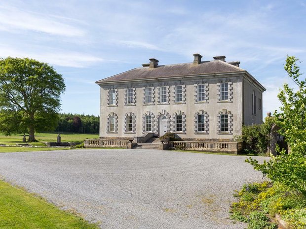 Enclosure in Ballyveelish NorthEnclosure · 511 yd
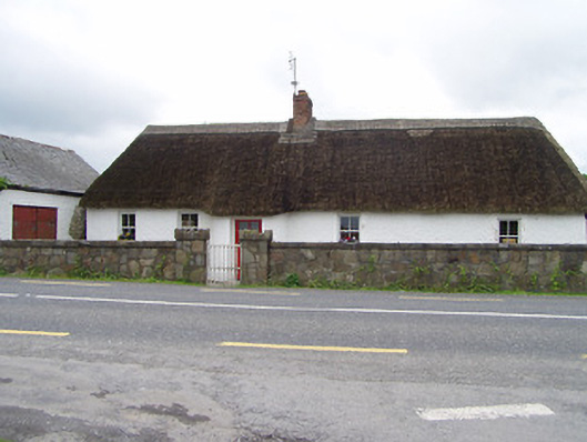 The Thatchhouse · 537 yd
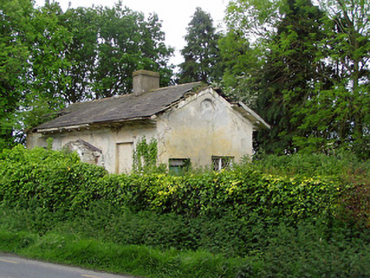 Knockeevan Housegate lodge · 1.2 mi
 Pedunculate OakPedunculate Oak · 1.2 mi
 CastleCastle, unclassified · 1.3 mi
 RathronanCastle, ringwork · 1.4 mi
 Persian WalnutPersian Walnut · 2.4 mi
 Francis HopkinsMemorial · 3.1 mi
 John HackettMemorial · 3.1 mi
 Main GuardHeritage attraction · 3.1 mi
 Merchant's HouseVisitor information · 3.1 mi