What is recorded here
First recorded as a positive cropmark in August 1991 by Dr. G. Barrett in the course of an aerial photographic survey. Aerial photograph (GB91.EM.35) shows the cropmark of a curvilinear enclosure defined by two fosses. The N boundary of the enclosure is apparently defined by the Slate River.
Compiled by: Gearóid Conroy
Date of upload: 10 June 2011
The monument record does not grant public access. Check the route and ask the landowner before entering private land.
- What survives
- Recorded monument
Places near here
 Ballyteige Castlefolly · 1065 yd
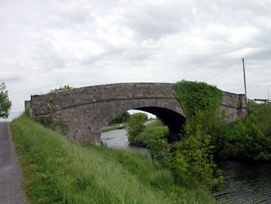 Skew Bridgebridge · 1261 yd
 Bawn in Grangeclare WestBawn · 1.4 mi
 Site of ChurchChurch · 1.4 mi
 Enclosure in Lowtown (kilmeage South Ed)Enclosure · 1.6 mi
 Kilmeague CastleRuins · 2.3 mi
 Killina BogWood · 2.5 mi
 Lullymore Heritage ParkHeritage attraction · 2.8 mi
 Grand Canal WayVisitor information · 2.8 mi
 Hill of AllenMountain / peak · 2.9 mi
 Foran's WoodForest · 2.9 mi
 Bithia Mary CrokerMemorial · 5.8 mi