What is recorded here
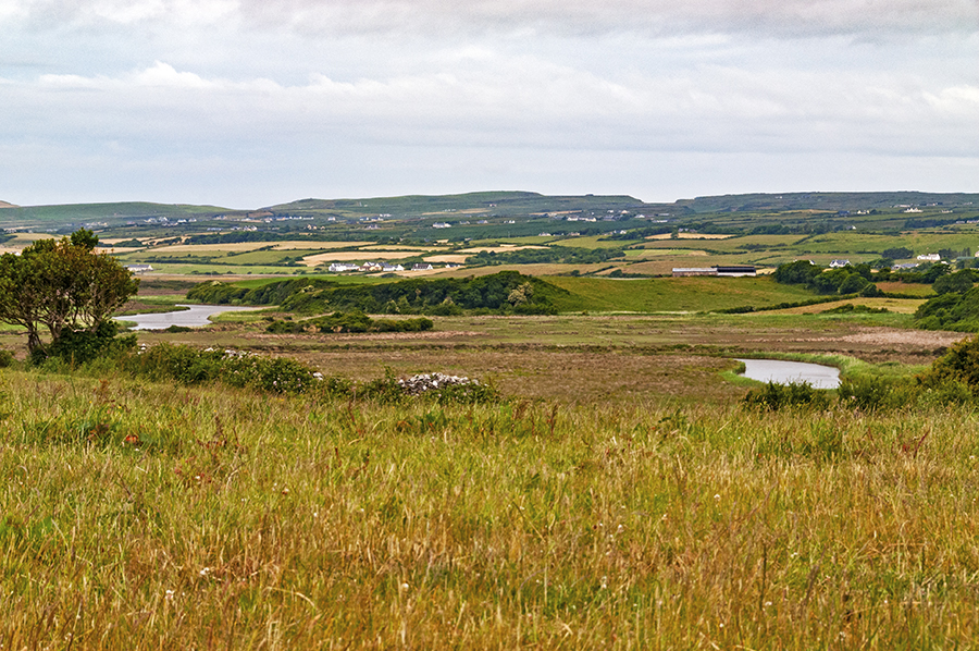
Situated on top of a rise in hilly poorly drained pasture scrubland and rushes. Hachured on the both first edition (1842) and later, Cassini edition (1920) of the OS 6-inch map where it is depicted as a raised, oval area (est. diams. c. 30m NW-SE; c. 26m NE-SW). The site of the monument has been criss-crossed with deep drainage ditches and no visible surface trace survives. Visible, surrounded by forestry, in aerial imagery (Map Genie Imagery, 2005-2012).
See attachments:
• CL008-094----_01.jpg Aerial view of site from N (Markus Casey, 1998)
• CL008-094----_02.jpg Aerial view of site on Map Genie Imagery (2005-2012)
Summary by: Gearóid Conroy and Conn Herriott
Date of upload: 2 December 2022
The monument record does not grant public access. Check the route and ask the landowner before entering private land.
- What survives
- Recorded monument
Places near here
 Ballytarsna FortEnclosure · 1057 yd
 CaherreaghFairy fort / stone ringfort · 1326 yd
 Smithstown Castle (in ruins)Castle, tower house · 1745 yd
 Site of Fanta Cas.Castle, tower house · 1.4 mi
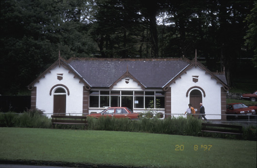 Lisdoonvarna Spabuilding misc · 1.6 mi
 Saint Augustine's Catholic Churchchurch/chapel · 1.6 mi
 Ballyteigue Nature ReserveNature reserve · 1.8 mi
 High CrossHeritage attraction · 2.9 mi
 Burren Centre KilfenoraVisitor information · 2.9 mi
 Doolin Road SinkCave · 3.1 mi
 St. Catherine's OneCave · 3.2 mi
 Doolin Cave Visitor CentreHeritage attraction · 3.7 mi