What is recorded here
Situated on a marked NE-facing slope between two stream gullies. A quadrangular enclosure (dims. 60m x 40m), shown on the 1838 OS 6-inch map, defined by low banks. A rectangular house platform (int. dims. 7m x 3m) occurs in the N corner with a possible second example immediately to the N. Possibly modern.
From the National Monuments Service (Archaeological Survey of Ireland) record WI007-045
The monument record does not grant public access. Check the route and ask the landowner before entering private land.
- What survives
- Recorded monument
Places near here
Photo credits
- Alan James, Geograph · CC BY-SA 2.0
- Sarah777 at English Wikipedia, Wikimedia Commons · Public domain
- National Inventory of Architectural Heritage
- Carroll Pierce, Geograph · CC BY-SA 2.0
- Simon Mortimer, Geograph · CC BY-SA 2.0
- Mike Murphy ( talk · contribs ), Wikimedia Commons · CC BY-SA 3.0
- Draceane, Wikimedia Commons · CC BY-SA 3.0
- A.-K. D., Wikimedia Commons · CC BY-SA 4.0
- Schcambo at English Wikipedia, Wikimedia Commons · Public domain
- Seanief1, Wikimedia Commons · CC BY-SA 4.0
 Great SugarloafMountain / peak · 1738 yd
 Great Sugar LoafMountain · 1.0 mi
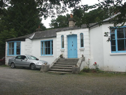 ValclusaHouse · 1.0 mi
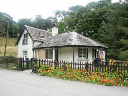 gate lodge1.1 mi
 The Sugar Loaf WayWalking route · 1.1 mi
 Deerpark TrailWalking route · 1.3 mi
 Giant Sequoia1.5 miGiant Sequoia1.5 mi
 Powerscourt WaterfallWaterfall · 1.6 mi
 Grave YardGraveyard · 2.0 mi
 MaulinMountain / peak · 2.4 mi
 Cross3.5 mi
More archaeology and monuments in County Wicklow · All of County Wicklow
What do you know about this place?