What is recorded here
In reclaimed pasture, 63m E of townland boundary with Ballybane and 70m SW of enclosure (LI031-182---). Depicted on the 1840 ed. OSi 6-inch map as a circular-shaped area defined by a scarp, transected at E by a post-1700 field boundary running N-S with possible lime-kiln built into external face of scarp at SE. Not depicted on 1897 ed. OSi 25-inch map indicating that the monument was levelled between these map dates. No surface remains visible on OSi orthophoto taken between 2001-12. Faint cropmark of levelled enclosure (diam. c. 29m) visible on Google Earth orthoimages.
See attached Google Earth orthoimages
Compiled by: Fiona Rooney
Date of upload: 1 April 2021
The monument record does not grant public access. Check the route and ask the landowner before entering private land.
- What survives
- Recorded monument
Places near here
 IndicatedChurch · 766 yd
 (Site of) Tullabracky CastleCastle, unclassified · 1055 yd
 BarrowBarrow, ditch barrow · 1217 yd
 Burial GroundGraveyard · 1236 yd
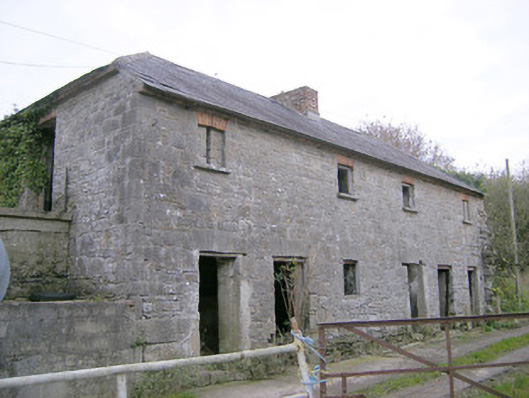 Camas Houseoutbuilding, bridge · 1322 yd
 Castle (in ruins)Castle, unclassified · 1.2 mi
 Lough GurVisitor information · 2.1 mi
 Grange Stone CircleArchaeological place · 2.2 mi
 KnockainyMountain / peak · 3.9 mi
 Flat cemetery in Knockainy WestFlat cemetery · 4.8 mi
 European ashEuropean ash · 5.5 mi
 St Patrick's WellSpring · 7.9 mi