What is recorded here
Identified as the fosse of a circular enclosure (diam. c. 27m) on an aerial photograph (CUCAP ATA013, 19 July 1967). Since 1967 the field boundary immediately W of the enclosure and another c. 60m N of the enclosure has been removed.
See attached:
KK024-035----_01 aerial photograph (CUCAP ATA013, 19 July 1967)
Compiled by: Jean Farrelly
Date of upload: 27 September 2021
This remains an important historical record, but the official description says the monument is no longer visible or has been destroyed. The monument record does not grant public access. Check the route and ask the landowner before entering private land.
- What survives
- No visible remains or recorded as destroyed
Places near here
 O'Gorman's Lane LoopWalking route · 861 yd
 Church (in ruins)Church · 1171 yd
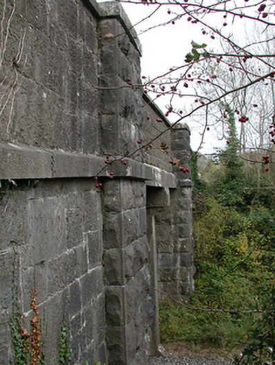 bridgebridge · 1208 yd
 Enclosure in Carran (gowran By., Bennettsbridge Ed)Enclosure · 1489 yd
 Enclosure in Kilree (knocktopher By.)Enclosure · 1572 yd
 Time CapsuleMemorial · 1586 yd
 Dunbell Big RingfortWood · 1743 yd
 Bishopslough Hunt CovertForest · 1.2 mi
 Ballynaboley Castle (in ruins)Castle, tower house · 1.7 mi
 Kilbline GraveyardArchaeological place · 1.7 mi
 Kilbline CastleCastle, tower house · 1.8 mi
 Tullaherin Church and Round TowerVisitor information · 2.0 mi