
What is recorded here
Centrally located within a roughly square graveyard (KK024-031002-), located immediately N of a public road. According to Carrigan (1905, vol. 3, 486), 'The old Catholic parish church stood on the site of the present Protestant church of Bennetsbridge, and was probably cleared away when the latter was built by Colonel John Shee, in 1795'. The C of I church was demolished in 1960 (O'Kelly 1969, 98). The interior of the graveyard is heavily overgrown with scrub (visible on Google Earth satellite imagery date May 2009).
Compiled by: Jean Farrelly
Date of upload: 27 September 2021
The monument record does not grant public access. Check the route and ask the landowner before entering private land.
- What survives
- Recorded monument
Places near here
 O'Gorman's Lane LoopWalking route · 382 yd
 Enclosure in Kilree (knocktopher By.)Enclosure · 440 yd
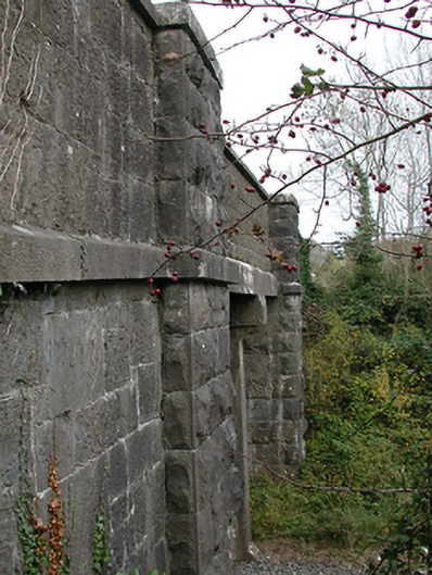 bridgebridge · 668 yd
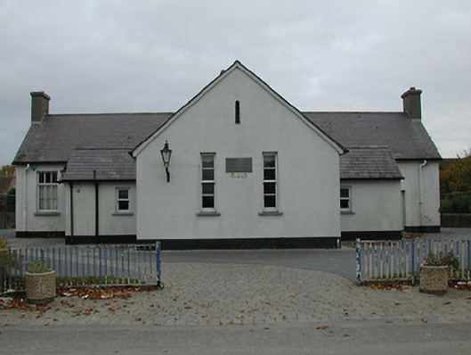 Bennettsbridge National Schoolschool · 678 yd
 Time CapsuleMemorial · 705 yd
 Dunbell Big RingfortWood · 1574 yd
 Enclosure in Dunbell BigEnclosure · 1686 yd
 Castle (in ruins)Castle, unclassified · 1.4 mi
 Black WalnutBlack Walnut · 1.4 mi
 CastleCastle, unclassified · 1.5 mi
 Kilkenny AirsoftHeritage attraction · 1.7 mi
 Kilbline GraveyardArchaeological place · 1.9 mi
Other information
Photo: Credit not shown in the picture search · Rights wording not checked; contact us if this picture should be removed