What is recorded here
Just off the crest of a S-facing slope in undulating terrain, under tillage. There are limited views to N and E and
very good to extensive views SW-W-NW. Aerial photograph (GB90.BM.23) shows cropmark of a D-shaped enclosure with an entrance facing south. There is no visible trace of this enclosure at ground level.
Compiled by: Jean Farrelly and Dr. Gillian Barrett for the Archaeological Survey of Ireland
Date of revised upload: 24 April 2018
This remains an important historical record, but the official description says the monument is no longer visible or has been destroyed. The monument record does not grant public access. Check the route and ask the landowner before entering private land.
- What survives
- No visible remains or recorded as destroyed
Places near here
 Enclosure in BallyraggetEnclosure · 410 yd
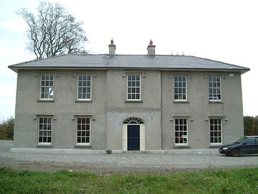 Eden Hallfarm house · 514 yd
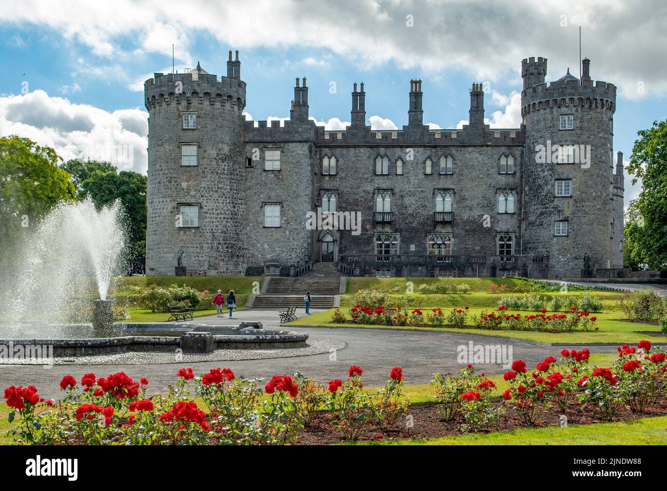 Concentric enclosure in BallyraggetConcentric enclosure · 673 yd
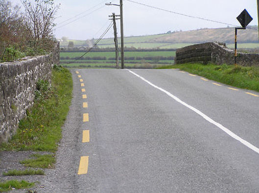 bridgebridge · 712 yd
 Graveyard in SraleaghGraveyard · 1110 yd
 Ballyragget Cas.Castle, tower house · 1351 yd
 Donaghmore WellSpring · 1624 yd
 CastleCastle, unclassified · 1.0 mi
 Anker's IslandIsland · 1.9 mi
 Jenkinstown ParkForest · 5.1 mi
 Emma Jane Browne-ClaytonMemorial · 5.3 mi
 Red horse-chestnutRed horse-chestnut · 5.4 mi