What is recorded here
In flat low-lying area of reclaimed pasture. No visible surface trace of site depicted as trapezoidal enclosure (c. 40m N-S; c. 50m E-W) on 1841 OS 6-inch map. Area reclaimed c. 1990; landowner remembered site as grove of trees in area of marshland.
Compiled by: Denis Power
Date of upload: 26 August 2011
The monument record does not grant public access. Check the route and ask the landowner before entering private land.
- What survives
- Recorded monument
Places near here
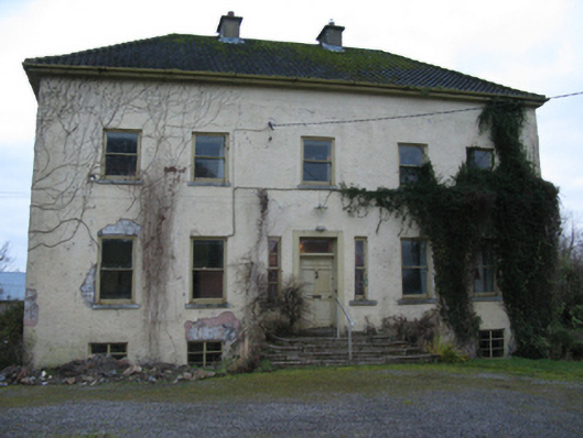 Odell Villecountry house · 447 yd
 Enclosure in Kilmihil (connello Upper By.)Enclosure · 1535 yd
 Fulacht fia in KilnamonaFulacht fia · 1596 yd
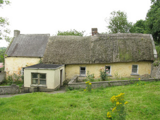 house, farm househouse, farm house · 1604 yd
 Hachured (1923).Castle, motte · 1.3 mi
 Castle (in ruins)Castle, tower house · 1.8 mi
 Lady's WellSpring · 2.1 mi
 Sunday WellSpring · 2.2 mi
 Famine stoneMemorial · 2.3 mi
 KnockfeerinaMountain / peak · 2.8 mi
 European ashEuropean ash · 4.1 mi
 Flat cemetery in Kiltenan SouthFlat cemetery · 4.7 mi