What is recorded here
In a marshy area, covered in rushes, on the SE bank of the Bunnanaddan river. Fragmentary remains of a rectangular tower house (SL038-065001-) stand in the centre of a slightly raised roughly D-shaped area (22m SW-NE; 25m SE-NW) noticeably drier than the surrounding terrain. The arc of a fosse (Wth 5m; D 0.1m) is evident at the edge of the raised area on the S side and the arc of a second fosse (Wth 7m) is evident E-SE, 13m outside the edge of the raised area. Field boundaries abut the edge of the raised area to NE and E. A silted-up tailrace (SL038-065003-), associated with a 19th-century corn mill to NE, skirts the edge of the raised area at N.
Compiled by: Archaeological Survey Unit, UCC with revisions by Patrick F. O'Donovan and Paul Walsh
Date of upload: 20 June 2011
The monument record does not grant public access. Check the route and ask the landowner before entering private land.
- What survives
- Recorded monument
Places near here
 Castle (in Ruins)Castle, tower house · 2 yd
 Fulacht fia in Ballynaraw SouthFulacht fia · 111 yd
 MillMill, corn · 439 yd
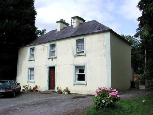 Killandy Househouse · 440 yd
 Tymon's HillMountain / peak · 619 yd
 Enclosure in QuarryfieldEnclosure · 1094 yd
 Ballyfahy Castle (in Ruins)Castle, unclassified · 1.6 mi
 Muckelty HillMountain / peak · 3.7 mi
 ElderElder · 4.2 mi
 Brother WalfridMemorial · 4.5 mi
 European ashEuropean ash · 4.6 mi
 Old Cave Burial GroundArchaeological place · 5.4 mi