
What is recorded here
Enclosure in Ballynakelly is a d-shaped ditched camp in County Dublin, Ireland, measuring 52 metres east-west and 49 metres north-south. Aerial photographs taken in 2005 revealed the buried shape as a cropmark southeast of Newcastle village. The double ditch along the northwest and the causeway at the north-northwest suggest people entered and left the place on purpose rather than stumbling through it.
This d-shaped enclosure (Wth 52m E-W, 49m N-S) is evident as a cropmark on aerial photographs taken in 2005 SE of Newcastle village. There is evidence for a double ditch along the NW and an entrance causeway in the NNW (pers. comm. Siobhain Mc Dermott).
The monument record does not grant public access. Check the route and ask the landowner before entering private land.
- What survives
- Recorded monument
Places near here
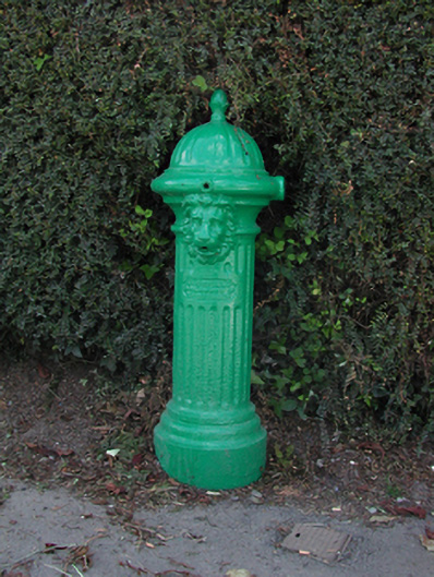 water pumpwater pump · 356 yd
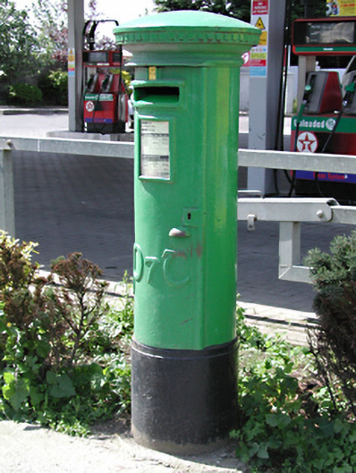 post boxpost box · 398 yd
 Fulacht fia in Ballynakelly,commons LittleFulacht fia · 502 yd
 Moated site in RathcreedanMoated site · 543 yd
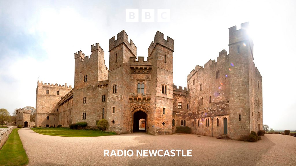 CastleCastle, tower house · 1112 yd
 IndicatedCastle, motte · 1361 yd
 European YewEuropean Yew · 1370 yd
 Saint Finian's WellSpring · 1521 yd
 Athgoe HillMountain / peak · 1617 yd
 Inniscara GalleryGallery · 1.1 mi
 Rathcoole WoodlandWood · 1.6 mi
 Meadow WildlifeVisitor information · 1.6 mi
Other information
Photo: Credit not shown in the picture search · Rights wording not checked; contact us if this picture should be removed