What is recorded here
An enclosure is marked on the Grand Jury map of Co. Waterford dated 1819 at Ballynaguilkee Lower (NLI: 16 J 4). It is placed close to the N-S Lisleagh Stream at the W edge of the townland, but it remains unlocated.
Compiled by: Michael Moore
Date of upload: 29 September 2011
The monument record does not grant public access. Check the route and ask the landowner before entering private land.
- What survives
- Recorded monument
Places near here
 Embanked enclosureFairy fort / earthen ringfort · 550 yd
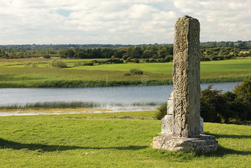 Stone CrossCross, High cross · 623 yd
 Sliabh gCuahouse · 1648 yd
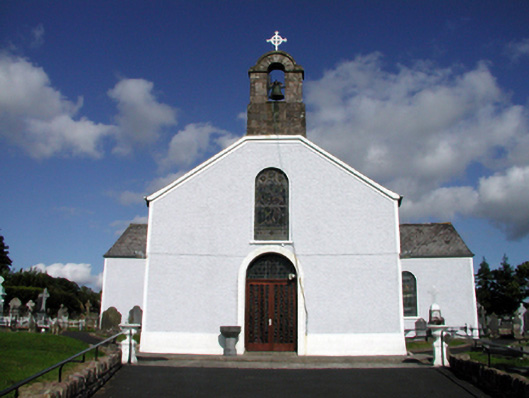 Saint Mary's Catholic ChurchOfficially recorded historic building · 1.1 mi
 BroemountainMountain / peak · 2.7 mi
 KnocknasheegaMountain / peak · 3.0 mi
 Glenshelane WoodsForest · 4.0 mi
 Curraghcloney CastleCastle · 4.0 mi
 Glenshelane Red WalkWalking route · 4.4 mi
 Site of CastleCastle, unclassified · 4.5 mi
 Standing StoneMemorial · 4.8 mi