What is recorded here
In tillage field, cropmark of possible circular enclosure (diam. c. 66m N-S), ditch visible SE->N. First identified on Bing maps by Jean-Charles Caillére.
Compiled by: Matt Kelleher based on details provided by Jean-Charles Caillére
Date of upload/revision: 25 March 2022
See attached aerial image CO032-275----_01.jpg
The monument record does not grant public access. Check the route and ask the landowner before entering private land.
- What survives
- Recorded monument
Places near here
 Longueville Housebridge · 200 yd
 Longueville House Hoteldemesne walls/gates/railings · 230 yd
 Old Burial GroundBurial ground · 705 yd
 Dromaneen CastleHeritage attraction · 1148 yd
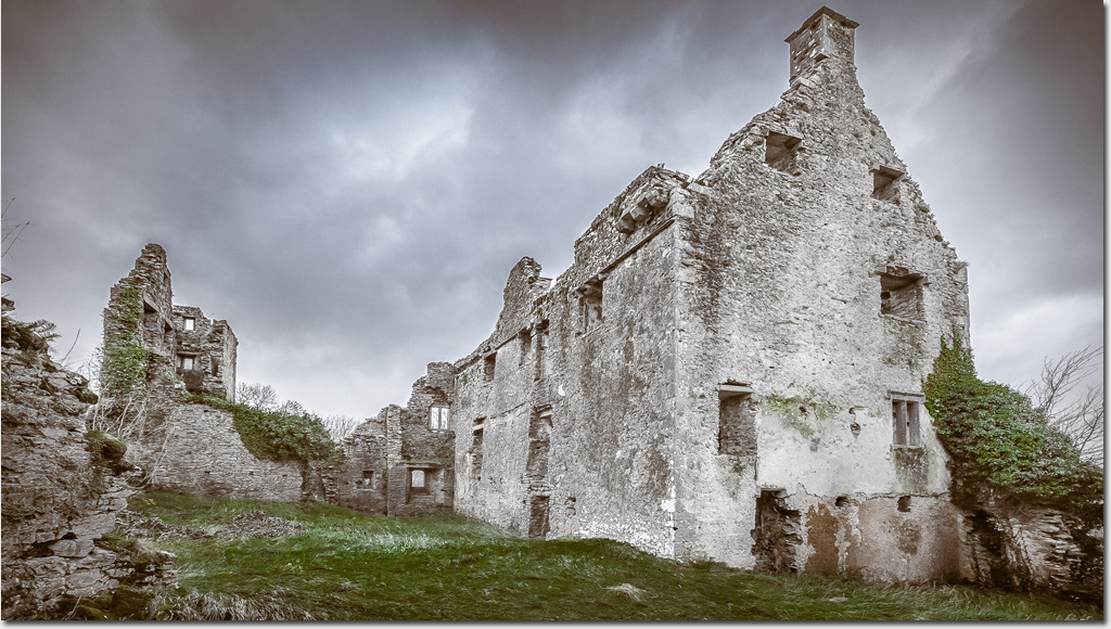 Enclosure in DromaneenEnclosure · 1271 yd
 In loving memory of Elvis O'DonoghueMemorial · 2.9 mi
 Lohort CastleCastle, tower house · 3.0 mi
 Mallow Castle RuinRuins · 3.6 mi
 Graveyard in Ballygiblin (duhallow By.)Graveyard · 4.1 mi
 Mount HillaryMountain / peak · 5.3 mi
 European YewEuropean Yew · 5.4 mi
 Mount Hillary - Knightfield LoopWalking route · 5.5 mi