What is recorded here
Identified from an aerial photograph (Bruff Survey: Map 23, See Bruff AP 4/3672). In pasture, on a NW-facing slope. Sub-rectangular area (32m NNE-SSW; 18m WNW-ESE) defined by a scarped edge (Wth 1.5m; H 0.17m) best defined on down-slope (Wth 4.7m; H 0.8m) W-NW; scarps melds into earthen bank (Wth 4m; int. H 0.15m; ext. H 0.4m) SE-WSW with an opening (overall Wth 7.5m; basal Wth 4m) at WSW. External fosse (Wth 4.05m; D 0.3m) NNW-SW. Break of slope where linear scarp (Wth 1.75m; H 0.25m) crosses interior (long-axis WNW-ESE) creating lower level in SW-sector. Dry water channel enters fosse at S and large dry stream bed lies immediate W of monument. Ring-barrow (LI024-184----) c. 150m to WNW. According to Doody (2008, 133) the morphology of this enclosure indicates that it may be Bronze Age in date.
Compiled by: Denis Power
Date of upload: 7 November 2013
The monument record does not grant public access. Check the route and ask the landowner before entering private land.
- What survives
- Recorded monument
Places near here
 Ballynaclogh Church (in ruins)Church · 395 yd
 Enclosure in Pallas (coonagh By.)Enclosure · 808 yd
 Enclosure in KilduffEnclosure · 875 yd
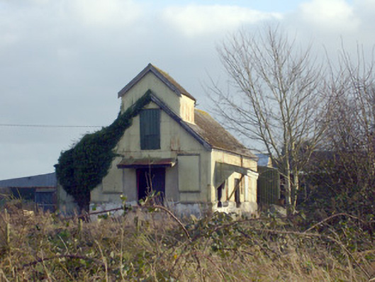 Race Creamerycreamery · 1119 yd
 (Site of) CastleCastle, unclassified · 1324 yd
 Pallas MoatCastle, motte · 1340 yd
 ToberagaddySpring · 1.1 mi
 KnockseefinMountain / peak · 1.5 mi
 St. Patrick's WellSpring · 3.1 mi
 Kilteely HillMountain / peak · 3.4 mi
 Flat cemetery in Knockainy WestFlat cemetery · 7.3 mi
 BarrowBarrow, ring-barrow · 898 yd