What is recorded here
Enclosure in Ballynaboley is a subrectangular raised area in County Carlow, reaching fifty-five metres across, with a rectilinear annexe attached to its eastern side. Aerial photographs reveal faint cropmarks of a fosse defining the enclosure and an incomplete circular structure within it, probably a hut site. The shape suggests a lived-in boundary rather than a passive mark, where someone shaped the land to hold a small world of their own.
The following description is derived from the published 'Archaeological Inventory of County Carlow' (Dublin: Stationery Office, 1993). In certain instances the entries have been revised and updated in the light of recent research.
Date of revision: 15 April 2011
Revised by: Claire Breen
Shown on 1838-9 'OS 6-inch' map and on aerial photograph (GSI S 435) as approximately subrectangular raised area (max. diam. c. 55m). Crop on site at time of inspection.
Aerial photograph (GB89.O.37) shows faint cropmark of an enclosure defined by a fosse (Barrett 1989).
Aerial photograph (GB95.FR.28) shows cropmark of a rectilinear annexe defined by a fosse attached to the eastern side of the previously recorded enclosure. Faint traces of an incomplete circular structure can be seen within the original enclosure, probably a hut site (CW012-075001-).
A copy of aerial photograph GB95.FR.27 is printed as Fig.2.6 in the following:
Barrett, G.F. (2008) 'The archaeology of County Carlow: an aerial perspective, in T. McGrath and T. O'Keefe (eds), County Carlow: History and Society, Geography Publications, Dublin. 31-51
The monument record does not grant public access. Check the route and ask the landowner before entering private land.
- What survives
- Recorded monument
Places near here
 Enclosure in BallynaboleyEnclosure · 609 yd
 Enclosure in Orchard (idrone East By.)Enclosure · 1035 yd
 Common LimeCommon Lime · 1078 yd
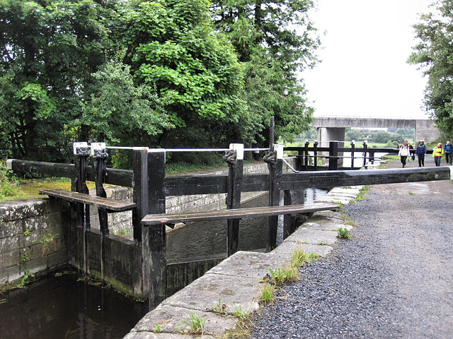 Rathvinden Locklock · 1559 yd
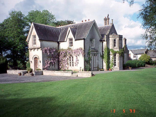 Rathwade Househouse · 1651 yd
 Black Castle (in ruins)Castle, tower house · 1.1 mi
 Church, GraveyardChurch · 1.3 mi
 Dunleckny Ho.Castle, unclassified · 1.9 mi
 Sweet ChestnutSweet Chestnut · 1.9 mi
 Graveyard in Tomard Lower (3 Detached Portions)Graveyard · 2.3 mi
 The Columban WayVisitor information · 2.5 mi
 Lock Keeper's House and Lodge MillsVisitor information · 2.6 mi