
What is recorded here
The enclosure is formerly located on a S facing slope above the Bray river with extensive views of the coast of Bray and the Sugarloaf Mountain. An aerial photograph taken in 1970 (CUCAP, BDP 24) shows an L-shaped cropmark defined by two contiguous ditches aligned, roughly E-W. The present road forms the S boundary of the site. This is probably part of a much larger enclosure (ext. L 130m; Wth 0.85m). A field boundary on the S side of the road roughly corresponds to the W end of this enclosure. The enclosure is not visible at ground level and the field in which it is located is under tillage.
Compiled by: Geraldine Stout and Padraig Clancy.
Revised upload on: 21 April 2018.
A local fairy fort (ringfort/rath); wider significance not recorded.
The monument record does not grant public access. Check the route and ask the landowner before entering private land.
- What survives
- Recorded monument
Places near here
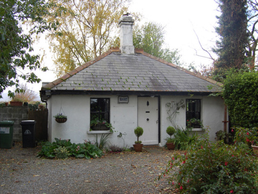 Ballyman Housegate lodge · 172 yd
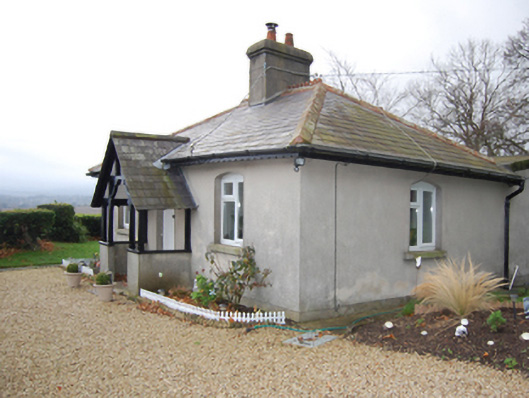 Knocklinngate lodge · 185 yd
 Pit-burial in BallymanPit-burial · 248 yd
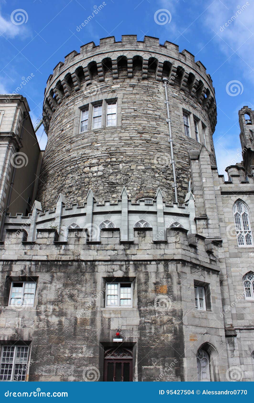 CastleCastle, tower house · 305 yd
 Fulacht fia in BallymanFulacht fia · 365 yd
 Graveyard in BallymanGraveyard · 421 yd
 Carrickgollogan HillMountain / peak · 1456 yd
 IndicatedCastle, tower house · 1645 yd
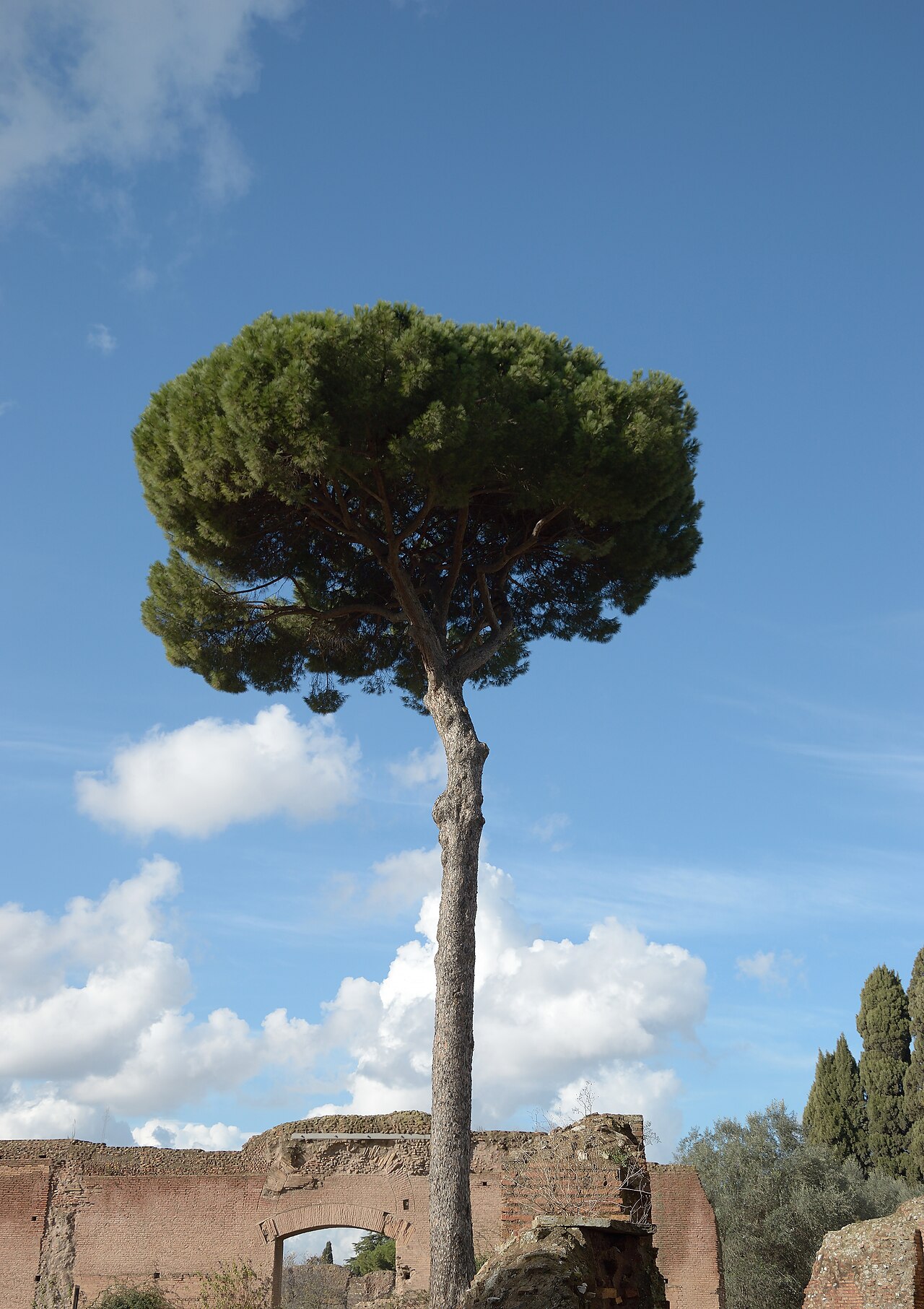 Stone PineStone Pine · 1.4 mi
 Lover's LeapNamed rock · 1.6 mi
 European YewEuropean Yew · 1.6 mi
 Rathmichael WalkWalking route · 1.6 mi
Other information
Photo: Credit not shown in the picture search · Rights wording not checked; contact us if this picture should be removed