What is recorded here
A roughly circular enclosure (dims. c. 34m N-S; c. 40m E-W) identified as a cropmark on Bing photography (Imagery captured on 06 Nov 2011; http://binged.it/1cRdNSc) by Simon Dowling. The monument is enclosed by a larger oval-shaped cropmark (dims. c. 58m N-S; c. 92m E-W), the northern sector of which appears to have been slightly truncated by a field boundary running E-W.
Compiled by: Jean Farrelly
Date of upload: 13 January 2014
The monument record does not grant public access. Check the route and ask the landowner before entering private land.
- What survives
- Recorded monument
Places near here
 IndicatedEnclosure · 844 yd
 Enclosure in Ballymack (desart),newtown (baker)Enclosure · 1165 yd
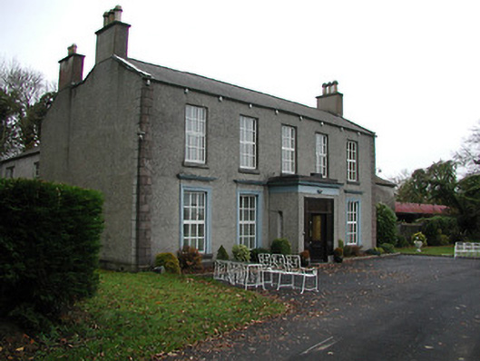 Farmleycountry house · 1348 yd
 Church in Desart DemesneChurch · 1.2 mi
 Burnchurch CastleVisitor information · 1.2 mi
 Ballybur CastleCastle, tower house · 1.8 mi
 GreatwoodForest · 1.9 mi
 CastleCastle, unclassified · 1.9 mi
 Pedunculate OakPedunculate Oak · 2.3 mi
 Saint Brigid's WellSpring · 3.0 mi
 Mill IslandIslet · 3.1 mi
 Stop 7: Callan's Augustinian FriaryVisitor information · 3.2 mi