What is recorded here
In improved pasture, on a WSW-facing slope. The remains of the levelled curvilinear arc (C 20m N-S; dims. 8m E-W) of a bank (Wth 1.2m; H 0.15m) representing the W edge of a monument which is truncated by a townland boundary which runs N-S across the W sector. Only this portion of the monument is indicated on the 2nd (1905) ed. OS 6-inch map. The rest of the monument is not visible at ground level in the field to the E, which was covered by dense vegetation at time of inspection, or in the field to the N.
Compiled by: Jean Farrelly
Date of upload: 26 August 2011
The monument record does not grant public access. Check the route and ask the landowner before entering private land.
- What survives
- Recorded monument
Places near here
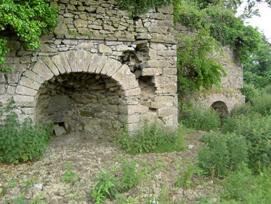 kilnkiln · 367 yd
 ‘Magowry Church (in ruins)’Church · 973 yd
 CastleCastle, ringwork and bailey · 1445 yd
 Enclosure in ShanakyleEnclosure · 1472 yd
 Eagle HillMountain / peak · 1472 yd
 CrushshuvaunhenryCross, Wayside cross · 1662 yd
 (Site of) Drangan CastleCastle, unclassified · 1.9 mi
 Knockuragh HillMountain / peak · 2.2 mi
 Slieveardagh Heritage CentreVisitor information · 3.2 mi
 Fenane WoodForest · 4.1 mi
 Silver FirSilver Fir · 5.1 mi
 East GateMemorial · 5.9 mi