What is recorded here
A roughly square enclosure (dims. c. 40m NW-SE; c. 35m NE-SW) with rounded angles, defined by a fosse visible as a cropmark on satellite imagery (2021 Maxar Technologies, viewed May 2021), identified and reported by Jean-Charles Caillère. A break in the fosse at the E end of the S side may indicate an entrance.
See attached photograph:
TS087-051----_01 Satellite image (2021 Maxar Technologies, viewed May 2021)
Compiled by: Jean Farrelly
Date of upload: 2 June 2021
The monument record does not grant public access. Check the route and ask the landowner before entering private land.
- What survives
- Recorded monument
Places near here
 BohernameasaRoad, road/trackway · 781 yd
 Site of Ballinhalla CastleCastle, unclassified · 1669 yd
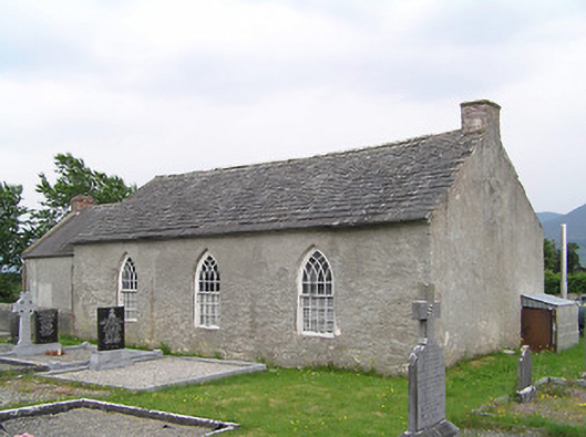 Castlegrace National Schoolschool · 1720 yd
 Enclosure in CastlegraceEnclosure · 1.2 mi
 Enclosure in Garryduff (ballybacon Par.)Enclosure · 1.4 mi
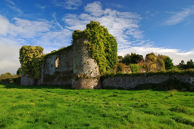 Castle Grace (in ruins)Castle, Anglo-Norman masonry castle · 1.6 mi
 Bohernagore WoodForest · 2.3 mi
 Kildanogue wildfowl sanctuary and nature reserveNature reserve · 2.5 mi
 The VeeViewpoint · 2.6 mi
 Woodcock HillMountain / peak · 2.6 mi
 Grubb’s GraveMemorial · 2.7 mi
 Roche's HillMountain / peak · 3.3 mi