
What is recorded here
On a NW-facing slope in rolling pastureland with very good view of Ladys Abbey to the N. The enclosure is not visible at ground level. It is marked on the 1840 and 1907 6-inch OS map as a sub-circular enclosure (diam. c. 62m N-S; c. 56m E-W) defined by a bank.
Compiled by: Jean Farrelly
Date of upload: 28 November 2013
The monument record does not grant public access. Check the route and ask the landowner before entering private land.
- What survives
- Recorded monument
Places near here
 Ladys Abbey (in ruins)Religious house, Carmelite friars · 765 yd
 Font (present location) in Garryduff (ballybacon Par.)Font (present location) · 771 yd
 Font in Raheen (ballybacon Par.)Font · 963 yd
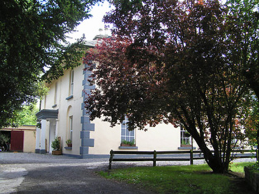 The Old Parochial Housepresbytery/parochial/curate's house · 1.1 mi
 Kildanogue wildfowl sanctuary and nature reserveNature reserve · 2.0 mi
 Ballydrinan CastleCastle, tower house · 2.0 mi
 Site of Ballinhalla CastleCastle, unclassified · 2.1 mi
 Woodcock HillMountain / peak · 2.4 mi
 Roche's HillMountain / peak · 2.9 mi
 The VeeViewpoint · 3.1 mi
 Bohernagore WoodForest · 3.1 mi
 Grubb’s GraveMemorial · 3.2 mi
Other information
Photo: Credit not shown in the picture search · Rights wording not checked; contact us if this picture should be removed