What is recorded here
An aerial photograph (GB90.AA.07, 16 July 1989) shows the cropmark of a curvilinear enclosure (diam. c. 40m) defined by a fosse (Barrett 2009). It may be a natural pond as there are a number of similar features in the immediate vicinity, including a pond 340m to the SSW and another 240m to the WSW.
Compiled by: Jean Farrelly
Date of upload: 26 August 2011
The monument record does not grant public access. Check the route and ask the landowner before entering private land.
- What survives
- Recorded monument
Places near here
 BohernameasaRoad, road/trackway · 168 yd
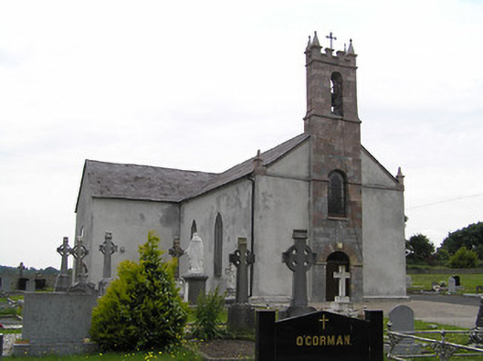 Catholic Church of Saint John the Baptistchurch/chapel · 1537 yd
 Enclosure in CastlegraceEnclosure · 1.1 mi
 Site of Ballinhalla CastleCastle, unclassified · 1.1 mi
 St. Kierans WellHoly well · 1.3 mi
 CastleCastle, motte · 1.3 mi
 Bohernagore WoodForest · 2.5 mi
 Woodcock HillMountain / peak · 2.5 mi
 The VeeViewpoint · 2.8 mi
 Kildanogue wildfowl sanctuary and nature reserveNature reserve · 2.8 mi
 Grubb’s GraveMemorial · 3.0 mi
 Roche's HillMountain / peak · 3.6 mi