What is recorded here
On a gradual S-facing slope of Slievenamon in gently undulating terrain, under rough pasture. Monument has been levelled with no visible trace at ground level. Field boundary running E-W along N quadrant of monument is still intact and it curves out where it meets the monument. The boundary consists of a drystone wall with a lot of rubble heaped up against the S face. There is a steep drop to a disused quarry N of this boundary, immediately NE of the monument. Depicted on the 1901-05 ed. OS 6-inch map as a roughly circular area, c. 35-40m in diameter, defined by scarp.
Compiled by: Jean Farrelly
Date of upload: 26 August 2011
This remains an important historical record, but the official description says the monument is no longer visible or has been destroyed. The monument record does not grant public access. Check the route and ask the landowner before entering private land.
- What survives
- No visible remains or recorded as destroyed
Places near here
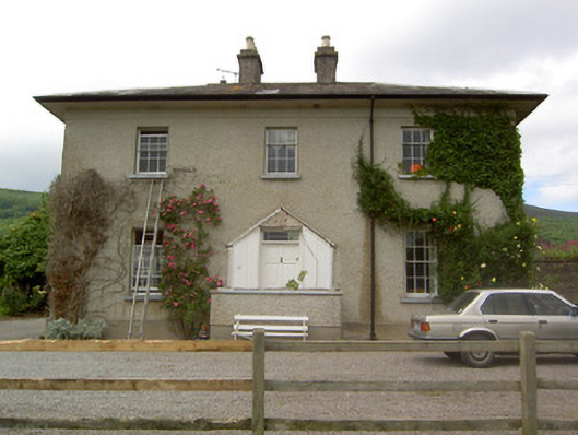 Ballyknockane Housecountry house · 478 yd
 Ballyknockane Lodgehunting/fishing lodge · 546 yd
 Enclosure in KillurneyEnclosure · 1491 yd
 CrossCross, Tau cross · 1.1 mi
 Ballyboe FortCastle, motte and bailey · 1.7 mi
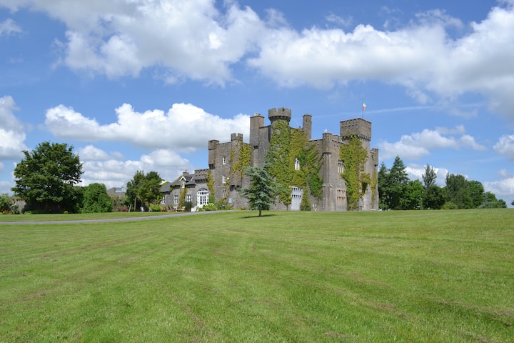 Ballyglasheen CastleCastle · 1.8 mi
 SlievenamonMountain / peak · 1.9 mi
 CarrickbrockMountain / peak · 2.3 mi
 Carrigaloe RockNamed rock · 2.3 mi
 Kilcash WoodForest · 2.8 mi
 Garden of RenewalNature reserve · 2.9 mi
 Maurice DavinMemorial · 4.2 mi