
What is recorded here
On S slope of Slievenamon in rough scrub covered with ferns, brambles and holly. Enclosure is very overgrown as is immediate surrounding area. New dormer bungalow has been built parallel with the enclosure c. 75m to W. Interior slopes to S. Outline of monument difficult to determine due to overgrowth (dims. 25m N-S; 28m E-W based on 25-inch OS map). Bank is relatively clear in SW quadrant (Wth 2.1m crest, 4.5m base; H above int. 0.66m; H above ext. 1.9m). It is of earthen construction with a lot of stones protruding from the top and external face. Downslope the bank falls sharply to exterior utilising the natural slope. Bank has been badly disturbed by burrowing, probably by badgers. Field boundary runs NW-SE along N side of the enclosure.
Compiled by: Jean Farrelly
Date of upload: 26 August 2011
The monument record does not grant public access. Check the route and ask the landowner before entering private land.
- What survives
- Recorded monument
Places near here
 Ballyknockane Lodgehunting/fishing lodge · 1048 yd
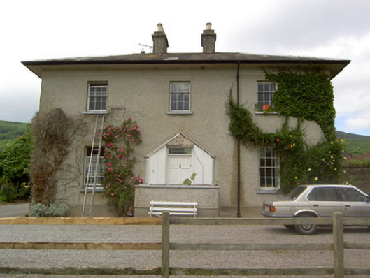 Ballyknockane Housecountry house · 1334 yd
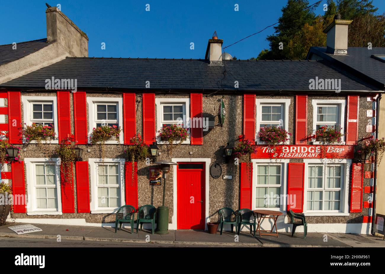 Enclosure in BallyboeEnclosure · 1.0 mi
 Ballyboe FortCastle, motte and bailey · 1.1 mi
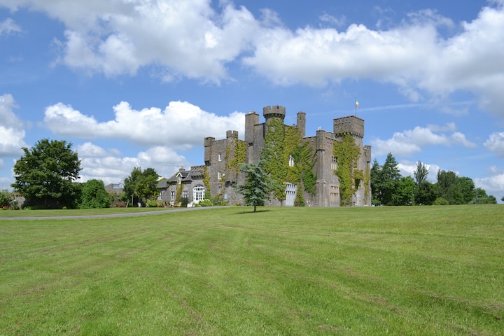 Ballyglasheen CastleCastle · 1.8 mi
 CarrickbrockMountain / peak · 1.8 mi
 Enclosure in BallynevinEnclosure · 1.8 mi
 SlievenamonMountain / peak · 2.1 mi
 Common LimeCommon Lime · 3.0 mi
 Lebanon CedarLebanon Cedar · 3.0 mi
 RetrospectMemorial · 5.6 mi
 Charles BianconiMemorial · 5.7 mi
Other information
Photo: Credit not shown in the picture search · Rights wording not checked; contact us if this picture should be removed