
What is recorded here
An aerial photograph (1995) shows cropmark evidence for an enclosure (pers. comm. Colin Byrne). Located on a south-facing slope of an arable field at a high point in the landscape.
Compiled by: Geraldine Stout
Updated by: Christine Baker
Date of upload: 15 November 2014
The monument record does not grant public access. Check the route and ask the landowner before entering private land.
- What survives
- Recorded monument
Places near here
 Ring-ditch in PiercetownRing-ditch · 381 yd
 Enclosure in Thomastown (balrothery East By.)Enclosure · 716 yd
 LoughshinnyVisitor information · 1030 yd
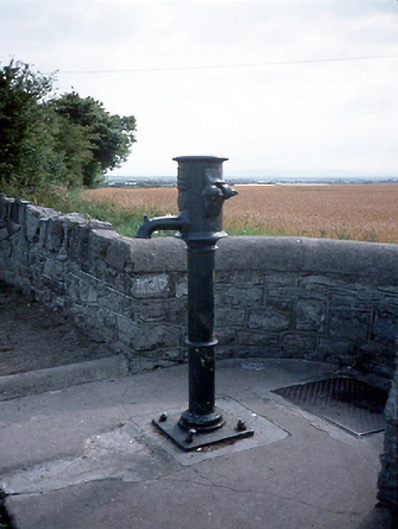 water pumpwater pump · 1047 yd
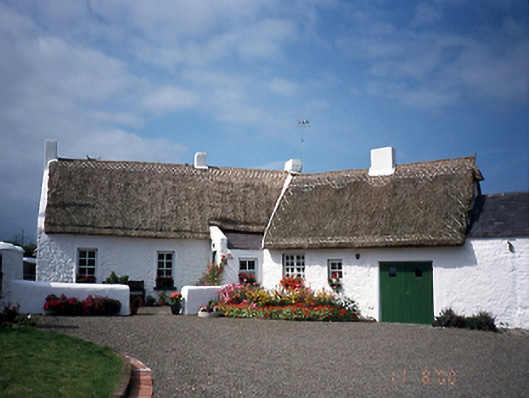 farm housefarm house · 1532 yd
 Castle (in ruins)Castle, Anglo-Norman masonry castle · 1.2 mi
 Shenick IslandIslet · 1.4 mi
 Skerries BeachVisitor information · 1.8 mi
 Skerries RockMemorial · 2.0 mi
 Flat cemetery in BalcunninFlat cemetery · 2.1 mi
 Rush South BeachBeach / strand · 3.0 mi
 Man O'War HillMountain / peak · 3.3 mi
Other information
Photo: Credit not shown in the picture search · Rights wording not checked; contact us if this picture should be removed