
What is recorded here
Ballyhooly North holds a ghost circle eighty metres wide, its twin ditches drawn in soil rather than stone. The outer line is thinner, the inner broader, and a ringfort watches from the opposite side of the field fence. That asymmetry suggests purpose, not decay. Maybe the site marked distance itself, forcing people to measure before entering.
Cropmark of two widely spaced concentric fosses of circular enclosure (diam. of interior c. 35m; outer fosse to outer fosse diam. c. 80m) visible in aerial photograph (CASAP, August 1990); external fosse narrower than internal; two closely parallel linear cropmarks on line of levelled field fence immediately to W of site. Ringfort (12124) immediately to NW on opposite side of levelled field fence.
The above description is derived from the published 'Archaeological Inventory of County Cork. Volume 4: North Cork' (Dublin: Stationery Office, 2000). In certain instances the entries have been revised and updated in the light of recent research.
Date of upload/revision: 14 January 2009
The monument record does not grant public access. Check the route and ask the landowner before entering private land.
- What survives
- Recorded monument
Places near here
 Enclosure in Ballyhooly SouthEnclosure · 1347 yd
 Ring-ditch in Ballyhooly SouthRing-ditch · 1573 yd
 railway stationrailway station · 1.1 mi
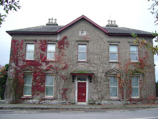 The Mansionhouse · 1.4 mi
 Blackwater (Avondhu) WayWalking route · 1.5 mi
 Ballyhooly CastleCastle · 1.7 mi
 Castle (in Ruins)Castle, unclassified · 1.9 mi
 Priest's WoodForest · 2.1 mi
 Johnson's WoodForest · 2.2 mi
 Graveyard in BoherashGraveyard · 2.5 mi
 St Dominick's WellSpring · 2.6 mi
 Anne's Grove GardensHeritage attraction · 3.3 mi
Other information
Photo: Credit not shown in the picture search · Rights wording not checked; contact us if this picture should be removed