
What is recorded here
Ballyhooly South holds a forty-metre circular enclosure with two concentric fosses, a southeast entrance, and possible southern annexes. It overlaps a neighbouring enclosure on the east and shares the field with two possible ringforts, suggesting a crowded landscape rather than a lonely monument. The earth may have marked homes, fields, or boundaries for people who no longer leave named records behind.
Cropmark of two concentric fosses of circular enclosure (diam. c. 40m) visible in aerial photograph (CASAP, July 1989); entrance to SE; two possible annexes or fields externally along S side. Along E side outer fosse overlaps slightly with fosse of adjacent enclosure (13719). Possible ringforts (12939, 12940) also in same field.
The above description is derived from the published 'Archaeological Inventory of County Cork. Volume 4: North Cork' (Dublin: Stationery Office, 2000). In certain instances the entries have been revised and updated in the light of recent research.
Date of upload/revision: 14 January 2009
The monument record does not grant public access. Check the route and ask the landowner before entering private land.
- What survives
- Recorded monument
Places near here
 Ring-ditch in Ballyhooly SouthRing-ditch · 235 yd
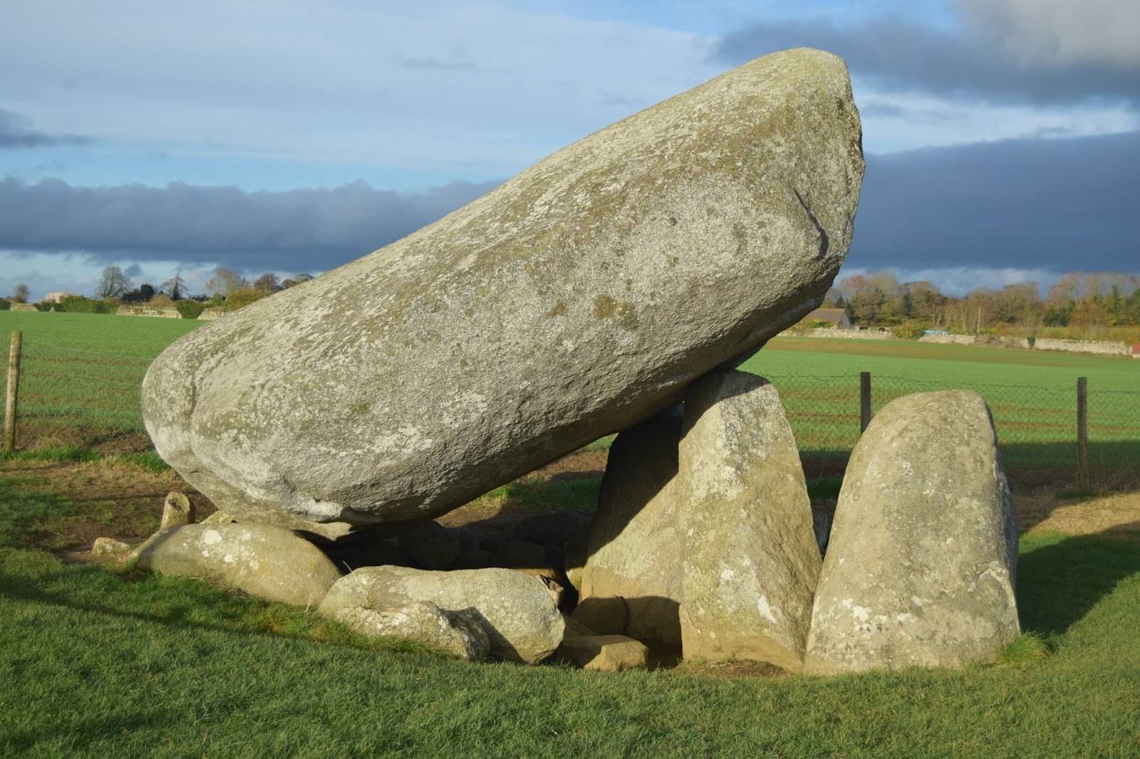 DolmenCist · 1126 yd
 railway stationrailway station · 1.2 mi
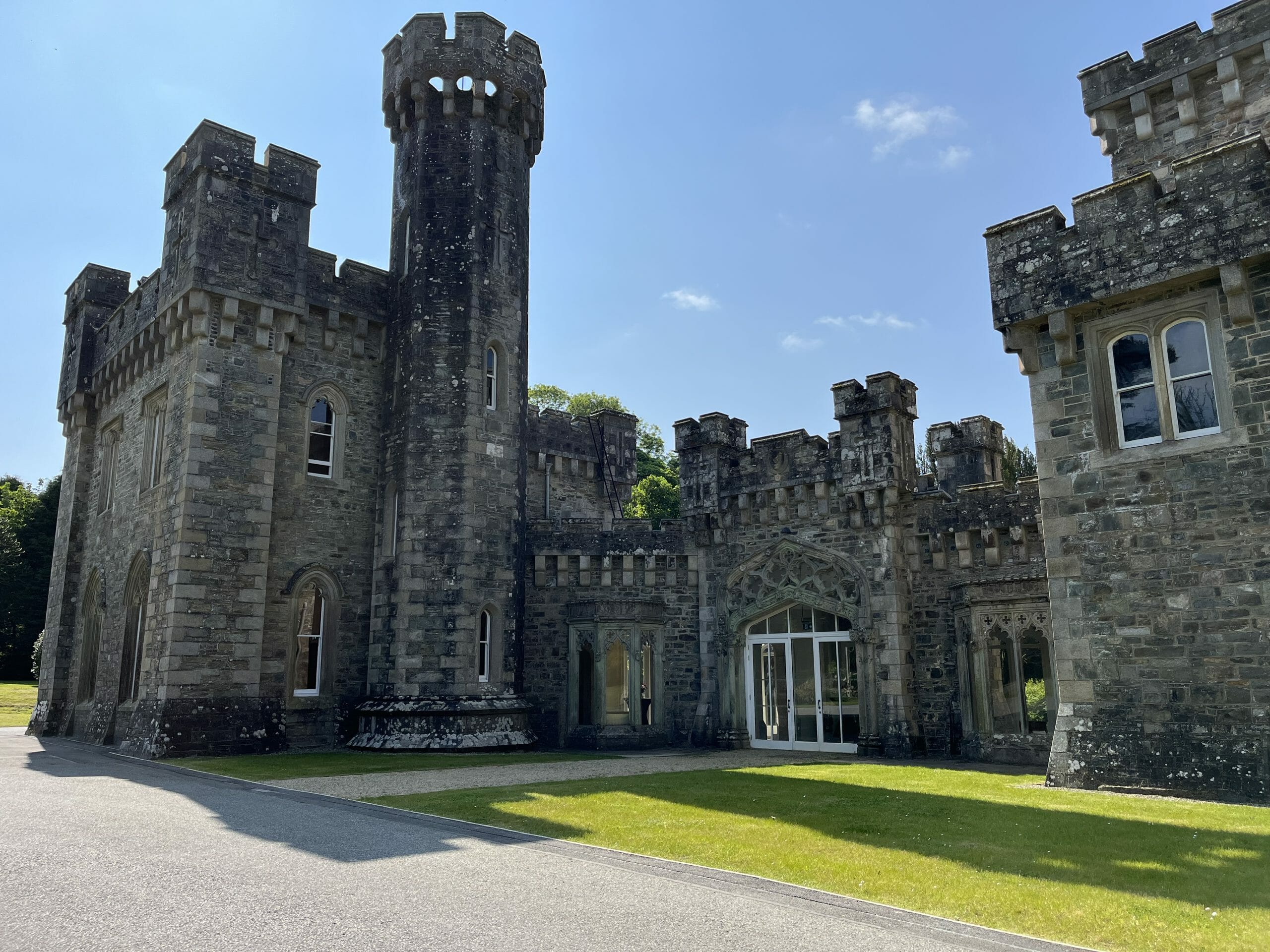 CastleCastle, unclassified · 1.2 mi
 Quarry in Commons (fermoy By., Litter Par.)Quarry · 1.5 mi
 Ballyhooly CastleCastle · 1.8 mi
 Graveyard in BoherashGraveyard · 2.0 mi
 Blackwater (Avondhu) WayWalking route · 2.0 mi
 St Dominick's WellSpring · 2.0 mi
 Johnson's WoodForest · 2.4 mi
 Priest's WoodForest · 2.4 mi
 Anne's Grove GardensHeritage attraction · 3.9 mi
Other information
Photo: Credit not shown in the picture search · Rights wording not checked; contact us if this picture should be removed