What is recorded here
In large tillage field, circular cropmark (diam c. 85m) identified from aerial photographs by Jean-Charles Caillere.
Compiled by: Matt Kelleher
Date of upload/revision: 27 February 2023
Attached image uploaded courtesy of Jean-Charles Caillere
The monument record does not grant public access. Check the route and ask the landowner before entering private land.
- What survives
- Recorded monument
Places near here
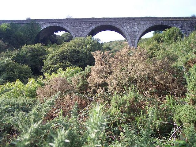 viaductviaduct · 526 yd
 IndicatedEnclosure · 677 yd
 Garryardhouse · 1009 yd
 BarrowBarrow, ring-barrow · 1065 yd
 Bi-Centenary of 1798Memorial · 2.2 mi
 Sunday's WellSpring · 2.5 mi
 Rumley's Open FarmHeritage attraction · 2.6 mi
 Corbally Montessori & Early Years' Pre-schoolVisitor information · 2.8 mi
 Ballyhandle Castle (in Ruins)Castle, Anglo-Norman masonry castle · 3.3 mi
 Graveyard in BallynoraGraveyard · 3.3 mi
 waterfallVisitor information · 3.4 mi
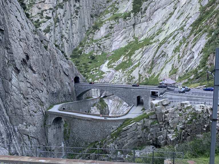 Monument WaterfallMonument · 3.4 mi