What is recorded here
In low-lying pasture, a stream flows roughly N-S c. 40m to the W. A moated site (KK026-018----) is located c. 500m to the W. Indicated on the 1st (1839) ed. OS 6-inch map as a circular enclosure (diam. c. 38m) with a townland boundary running NW-SE immediately outside the NE quadrant. A roughly D-shaped enclosure (dims. c. 38m NE-SW along SE side; c. 35m NW-SE) defined by a low scarp and sharply profiled external narrow drain, possibly a fosse that has been recut. The interior is level and under grass while the perimeter is overgrown with trees and scrub.
Compiled by: Jean Farrelly
Date of upload: 10 May 2022
The monument record does not grant public access. Check the route and ask the landowner before entering private land.
- What survives
- Recorded monument
Places near here
 Sally OsiersForest · 990 yd
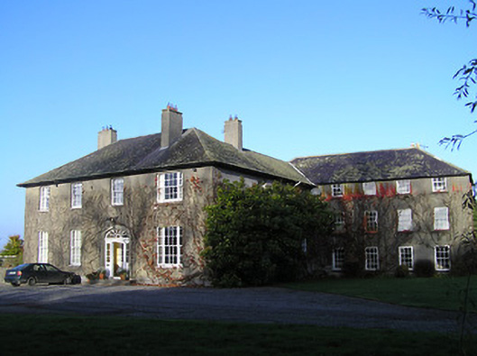 Ballaghtobinhouse · 1028 yd
 Ballytobin Church in ruinsChurch · 1089 yd
 BawnwilliamForest · 1092 yd
 Wellington Ho.Castle, unclassified · 1413 yd
 White ChurchArchaeological place · 1590 yd
 Grave YardGraveyard · 1597 yd
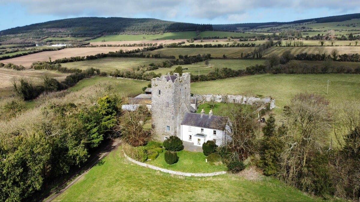 CastleCastle, tower house · 1.5 mi
 Mill IslandIslet · 1.5 mi
 Coolaghmore National SchoolMemorial · 1.5 mi
 Green StreetVisitor information · 2.4 mi
 Edmund Rice MemorialMemorial · 2.4 mi