
What is recorded here
Duhallow By. enclosure in Ballygiblin, County Cork, stood as a rectangular banked fort east of Ballygliblin House until machinery levelled it in the 1960s. People may have lived inside that shallow wall, watched the corn grow, or simply passed it without knowing it at all. The land forgot the shape quickly, but the story remains: a small strong place, removed before anyone could measure it properly.
In tillage, to E of Ballygliblin House. According to local information, rectangular "fort" overgrown with trees, levelled in 1960s which had an enclosing bank c. 2 to 3ft high. No visible surface trace of site noted in field of corn.
The above description is derived from the published 'Archaeological Inventory of County Cork. Volume 4: North Cork' (Dublin: Stationery Office, 2000). In certain instances the entries have been revised and updated in the light of recent research.
Date of upload/revision: 14 January 2009
The monument record does not grant public access. Check the route and ask the landowner before entering private land.
- What survives
- Recorded monument
Places near here
 Ballygiblin Housewalled garden · 368 yd
 Graveyard in Ballygiblin (duhallow By.)Graveyard · 711 yd
 IndicatedDesigned landscape, tree-ring · 843 yd
 Man-made underground passage in BallyhassMan-made underground passage · 1178 yd
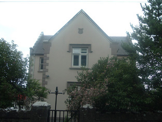 schoolschool · 1192 yd
 Lohort CastleCastle, tower house · 1.3 mi
 Castle Magner (in Ruins)Bawn · 1.4 mi
 European YewEuropean Yew · 2.0 mi
 Burial ground in AssolasBurial ground · 2.3 mi
 Lady's WellSpring · 3.7 mi
 St Fursey's WellSpring · 4.4 mi
 Dromaneen CastleHeritage attraction · 4.5 mi
Other information
Photo: Credit not shown in the picture search · Rights wording not checked; contact us if this picture should be removed