What is recorded here
In pasture, on a gentle W-facing slope. No visible surface trace. Farm buildings shown on current OS 6-inch map still exist. Enclosure not marked on either 1840 or latest edition OS 6-inch map. Identified as a roughly circular cropmark (dims. c. 40m N-S; c. 40m E-W) on aerial photograph (GSI S.633/4 16 April 1974).
Compiled by: Jean Farrelly
Date of upload: 26 August 2011
The monument record does not grant public access. Check the route and ask the landowner before entering private land.
- What survives
- Recorded monument
Places near here
 Church (in ruins)Church · 617 yd
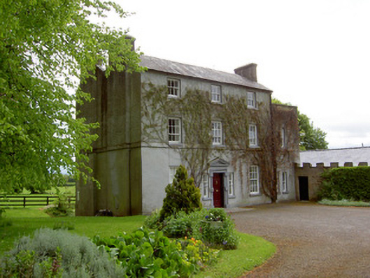 The Gleberectory/glebe/vicarage/curate's house · 664 yd
 Enclosure in Loughkent WestEnclosure · 1479 yd
 Enclosure in OuteraghEnclosure · 1584 yd
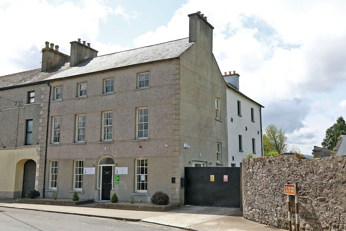 Woodinstown Ho.Castle, tower house · 1656 yd
 Outeragh Castle (in ruins)Castle, unclassified · 1.5 mi
 Caher AbbeyHeritage attraction · 4.5 mi
 Siege of Cahir Castlesiege · 4.7 miCahir CastleHeritage attraction · 4.8 mi
 Caucasian zelkovaCaucasian zelkova · 5.2 mi
 European YewEuropean Yew · 5.8 mi
 SturrakeenMountain / peak · 8.2 mi