What is recorded here
In level pasture. Oval area (16m NE-SW; 22m NW-SE) defined by scarped edge (H 0.75m; Wth 3.35m) with external fosse (D 0.2m; Wth 8.35m). Earthen field boundary, overgrown with bushes, overlies top of scarper edge except at NE, ESE and SW where there are gaps in the boundary. Level interior covered by tall grasses.
Compiled by: Denis Power
Date of upload: 26 August 2011
The monument record does not grant public access. Check the route and ask the landowner before entering private land.
- What survives
- Recorded monument
Places near here
 Grange BridgeBridge · 1557 yd
 Grange Church (in ruins)Church · 1648 yd
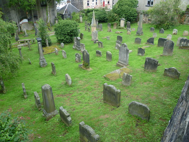 Burial GroundGraveyard · 1661 yd
 BarrowBarrow, ditch barrow · 1706 yd
 Templars Castle (in ruins)Castle, Anglo-Norman masonry castle · 1.8 mi
 CahermoyleCastle, unclassified · 2.7 mi
 St. Luke's WellSpring · 2.8 mi
 St. Kieran's WellSpring · 3.2 mi
 European ashEuropean ash · 3.5 mi
 Limerick GreenwayWalking route · 4.6 mi
 Sugar HillMountain / peak · 6.0 mi
 Ballagh MountainMountain / peak · 7.5 mi