What is recorded here
In pasture, on E-facing slope. Roughly circular area (diam. 77m N-S) enclosed by earthen bank (ext. H 1.2m; int. H 0.9m) which is covered by densely covered by overgrowth. Interior covered by deciduous and coniferous woodland and dense undergrowth. Enclosure truncated at W side by N-S field boundary.
Compiled by: Denis Power
Date of upload: 26 August 2011
The monument record does not grant public access. Check the route and ask the landowner before entering private land.
- What survives
- Recorded monument
Places near here
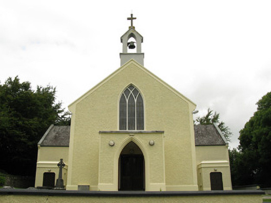 Saint Munchin's Catholic Churchchurch/chapel · 104 yd
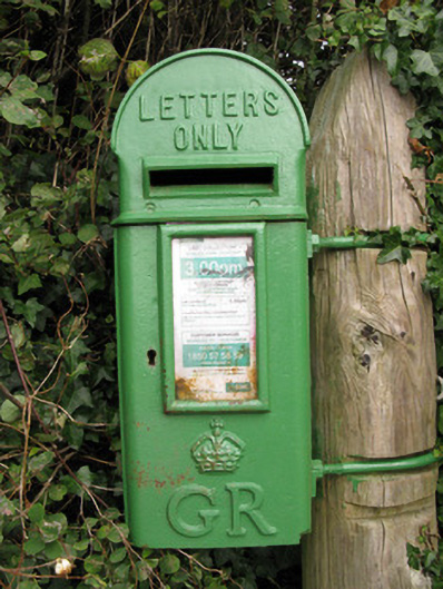 post boxpost box · 198 yd
 Enclosure in Ballyteige UpperEnclosure · 1.0 mi
 Parknaraby FortArchaeological place · 1.1 mi
 Eagle Mount MoteCastle, motte · 1.1 mi
 Bruree Castle Lower (in ruins)Castle, Anglo-Norman masonry castle · 1.4 mi
 Saint Derivla's WellSpring · 4.0 mi
 Holy Cross CemeteryGraveyard · 4.8 mi
 Our Lady's WellSpring · 5.0 mi
 KnockfeerinaMountain / peak · 6.0 mi
 Famine stoneMemorial · 6.5 mi
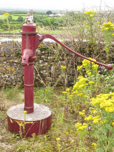 water pumpwater pump · 282 yd