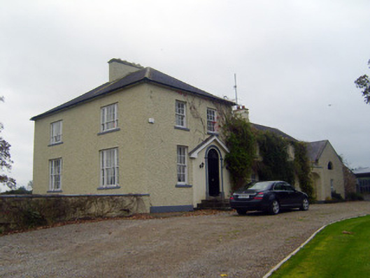
Places near here
Photo credits
- National Inventory of Architectural Heritage
- The Speckled Bird, Wikimedia Commons · CC BY-SA 4.0
- Colin Park, Geograph · CC BY-SA 2.0
- No machine-readable author provided. Christian1965~commonswiki assumed (based on copyright claims)., Wikimedia Commons · Public domain
- Mike Searle, Wikimedia Commons · CC BY-SA 2.0
- CaitNi, Wikimedia Commons · CC BY-SA 4.0
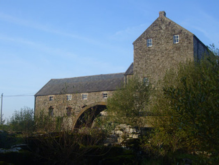 The Old MillMill (water) · 328 yd
Explorer Tom The Old Mill in Bruree had a fox take charge once, and the whole operation went haywire. It used to be a creamery, so there’s still ghostly butter smells everywhere! Go on, count the windows and guess how many times that water wheel has spun since forever.
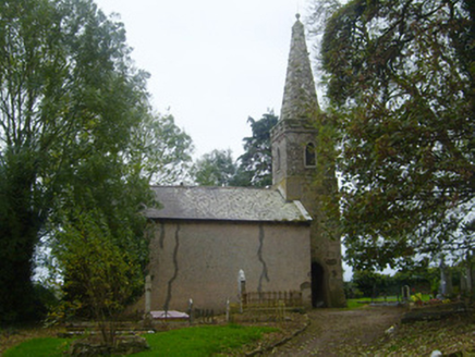 Saint Munchin's Church (Bruree)Church/chapel · 349 yd
Explorer Tom Saint Munchin's Church would buy a very expensive hat with its lotto win to match those trefoil openings. The ball finial on the tower is basically a fancy doorknob for heaven. Look up, the best bit is definitely not at eye level.
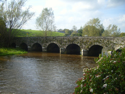 bridge385 yd
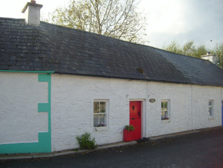 Briar CottageHouse · 397 yd
Explorer Tom Briar Cottage in Bruree Town survived a dramatic chicken chase that shook its very foundations. The vernacular form is simple, but the chaos inside was legendary. Look for the scratches on the door from the feathered villain.
IndicatedHoly well · 492 ydExplorer Tom Holy well in Bruree is playing possum behind the old pump. St Munchin got thirsty and the well appeared; cheeky bloke. I'm planning a housewarming party there. Bring your own wine, it’s my place now.
 Kings CastleCastle, tower house · 4.0 mi
Explorer Tom Kings Castle got its name wrong because map makers were drunk, which is my theory anyway. It’s been Queen, King, and King John, basically an identity crisis in stone. Make up your own legend and I'll swear it's true.
 King John's CastleCastle · 4.0 mi
 KnockfeerinaMountain / peak · 7.0 mi
 Áine and Gearóid Iarla: Lough GurLegend location · 9.3 mi
Explorer Tom Áine and Gearóid Iarla: Lough Gur has a goddess for the lake and a sleeping lord in the old stories. I thought I was coming to admire water and stones. Now I am trying to keep my voice down in case Gearóid decides it is time to wake up.
 Lissamota Castle (in ruins)Castle, tower house · 9.5 mi
 CarrigeenamronetyMountain / peak · 13 mi
More historic places in County Limerick · All of County Limerick

What do you know about this place?Tap to add a comment or ask a question