What is recorded here
Not visible at ground level. Aerial photographs (GSI, N 507/6; 176/5) shows cropmark of circular enclosure.
From the National Monuments Service (Archaeological Survey of Ireland) record OF026-011
The monument record does not grant public access. Check the route and ask the landowner before entering private land.
- What survives
- Recorded monument
Places near here
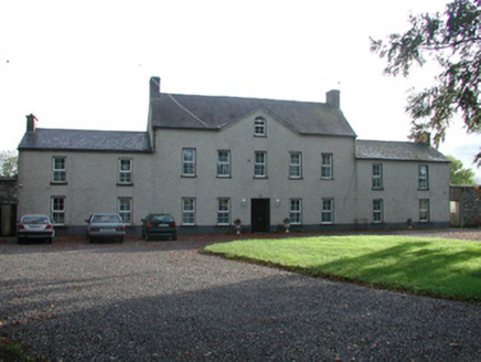 Ballychristal HouseHouse · 467 ydBurnt spread in BallychristalBurnt spread · 639 ydRaheen Castle (site of)Archaeological place · 1454 ydRaheen Castle in ruinsCastle, unclassified · 1466 yd
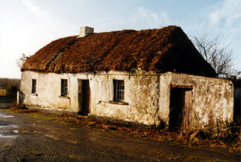 farm house1680 yd
 Father BurbageMemorial · 1.1 miGeashill Glebe WalkVisitor information · 1.1 miFurzehill WoodWood · 1.7 miThe Lord's WellSpring · 1.8 miGhaugher HillMountain / peak · 3.1 miRath HillMountain / peak · 3.7 mi
 Downan Grave YardGraveyard · 6.1 mi
Pictures: National Inventory of Architectural Heritage; Trenchspike, Wikimedia Commons · CC BY-SA 4.0; Kenneth Gallery Smyth, Geograph · Creative Commons Attribution-ShareAlike 2.0
More archaeology and monuments in County Offaly · All of County Offaly
What do you know about this place?