
What is recorded here
Ballydonagh enclosure in County Galway was a subcircular embankment ringed with trees on the 1838 map, but by 1946-7 the trees had vanished and a field boundary cut across its interior. In 1961 it had become so worn that even an inspector could not tell whether it was a ringfort or only a shape made by farming. The land has since levelled it almost entirely, leaving a faint rise north of the boundary and a disappeared place that may have been a home, a marker or a mistake never corrected.
In flat grassland. Marked on the 1838 edition of the OS 6-inch map as an embanked subcircular enclosure planted with a ring of trees. On the 1946-7 revision it (c. 55m NW-SE; c. 40m NE-SW) is clear of the trees and a field boundary cuts across the interior from WSW to E. When inspected in 1961 it was difficult to determine whether the monument was a ringfort or a landscape feature because it was so poorly preserved (SMR file). It has since been levelled and apart from a slight rise in the field level to the N of the field boundary, no visible surface trace survives.
Compiled by: Olive Alcock
Date of upload: 22 February 2019
The monument record does not grant public access. Check the route and ask the landowner before entering private land.
- What survives
- Recorded monument
Places near here
 BallydonaghHouse, 18th/19th century · 255 yd
 Lisnatrap FortFairy fort / earthen ringfort · 448 yd
 IndicatedFairy fort / earthen ringfort · 457 yd
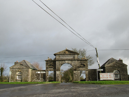 Belviewgates/railings/walls · 513 yd
 European YewEuropean Yew · 1.6 mi
 European BeechEuropean Beech · 1.9 mi
 MoatCastle, motte and bailey · 2.4 mi
 Oghil Castle (in ruins)Castle, tower house · 2.7 mi
 Redmond HillMountain / peak · 3.7 mi
 The bloody HollowHeritage attraction · 5.6 mi
 Urraghry HillMountain / peak · 5.6 mi
 Battle of AughrimMajor battlefield · 5.8 mi
Other information
Photo: Credit not shown in the picture search · Rights wording not checked; contact us if this picture should be removed