
What is recorded here
Indicated is a faded Galway ringfort where a ghostly ditch still circles a field that has forgotten its own boundary. The surviving earth bank stretches from northeast through east to southeast like a broken arm reaching across reclaimed grass. That incomplete arc suggests the fort resisted letting go even after people stopped remembering its name.
In level reclaimed grassland. Very poorly preserved circular rath (diam. 46m) defined by a bank and external fosse. The bank is only evident from NE through E to SE, while the fosse is visible all round.
Compiled by: Galway Archaeological Survey, UCG
Date of upload: 14 October 2016
The monument record does not grant public access. Check the route and ask the landowner before entering private land.
- What survives
- Recorded monument
Places near here
 IndicatedFairy fort / earthen ringfort · 181 yd
 BallydonaghHouse, 18th/19th century · 202 yd
 Enclosure in Ballydonagh (longford By.)Enclosure · 457 yd
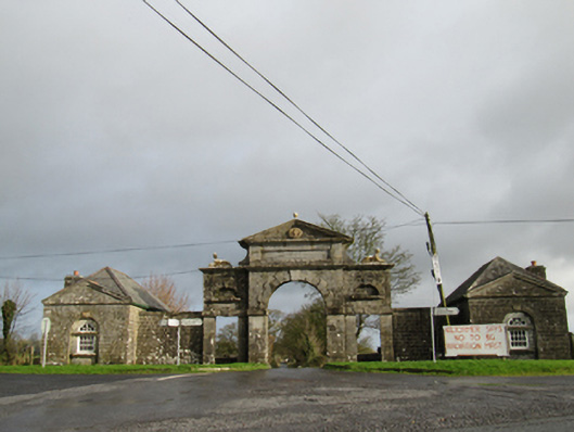 Belviewgates/railings/walls · 505 yd
 European YewEuropean Yew · 1.4 mi
 European BeechEuropean Beech · 1.6 mi
 MoatCastle, motte and bailey · 2.2 mi
 Oghil Castle (in ruins)Castle, tower house · 2.6 mi
 Redmond HillMountain / peak · 3.8 mi
 The bloody HollowHeritage attraction · 5.4 mi
 Urraghry HillMountain / peak · 5.4 mi
 Battle of AughrimMajor battlefield · 5.6 mi
Other information
Photo: Credit not shown in the picture search · Rights wording not checked; contact us if this picture should be removed