What is recorded here
In tillage, cropmark of circular-shaped area (diam. c. 43m) defined by a ditch visible on Apple Maps imagery.
Compiled by: Matt Kelleher based on details provided by Jean-Charles Caillère
See attached image
Date of upload/revision: 05 April 2022
The monument record does not grant public access. Check the route and ask the landowner before entering private land.
- What survives
- Recorded monument
Places near here
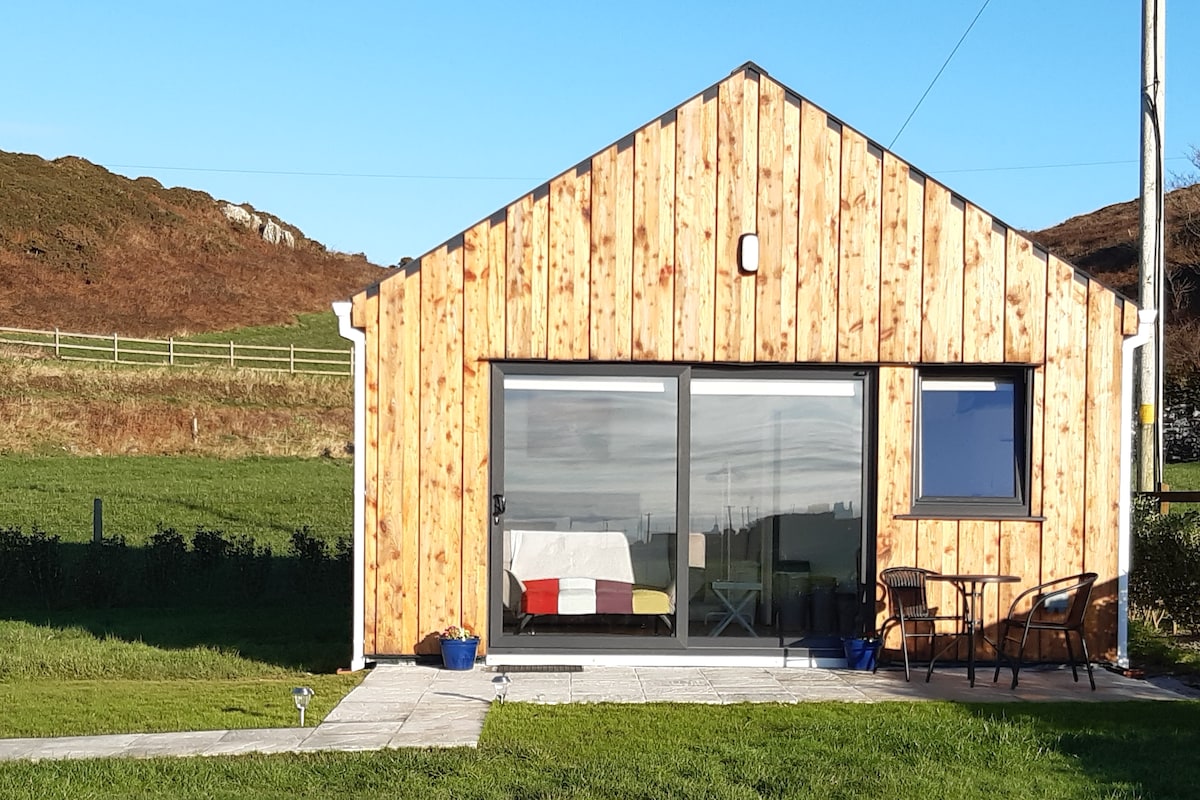 Enclosure in BallyhimockEnclosure · 837 yd
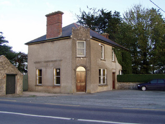 Griffin'shouse · 1107 yd
 Field system in BallyhimockField system · 1.0 mi
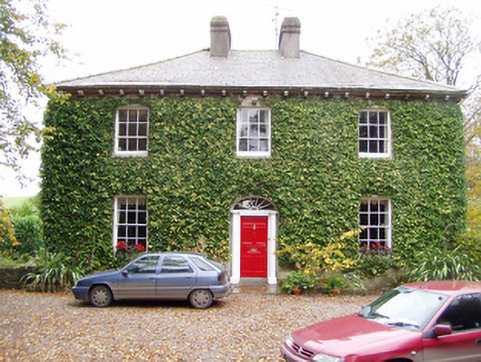 Wallstown Gleberectory/glebe/vicarage/curate's house · 1.1 mi
 Shanballymore Castle (Site of)Castle, unclassified · 1.5 mi
 Anne's Grove GardensHeritage attraction · 1.8 mi
 Ruane Castle (Site of)Castle, unclassified · 2.1 mi
 Pedunculate OakPedunculate Oak · 2.8 mi
 Scots PineScots Pine · 3.1 mi
 Smith's WellSpring · 3.9 mi
 Flat cemetery in Ballyenahan NorthFlat cemetery · 4.8 mi
 Blackwater (Avondhu) WayWalking route · 5.4 mi