What is recorded here
In pasture on the S-facing slope of a low hillock overlooking flat landscape to the S, 1.2km SE of the Camoge River and the townland boundary with Drominycarra. Enclosure lies 270m SE of an enclosure (LI031-178002-) and within a relic field system (LI031-226----). Not depicted on historic OSi maps. It is faintly visible on OSi orthoimages taken 2005-12 but not on the Digital Globe orthoimages taken 2011-2013. Identified by Bruff aerial photographic survey in 1986 (Bruff 34.02: AP 4/3644) as a circular enclosure (ext. diam. c. 25m). The enclosure consists of a central circular area surrounded by a fosse (Wth. c. 5m). The site is faintly visible on the Google Earth orthoimage taken 16/03/2016 and is not visible on the Google Earth orthoimage taken 20/09/2020.
See attached Bruff survey image showing the site labelled Bruff 34.02 and Google Earth orthoimages
Compiled by: Edmond O’Donovan
Date of upload: 27 October 2020
The monument record does not grant public access. Check the route and ask the landowner before entering private land.
- What survives
- Recorded monument
Places near here
 Enclosure in Ballycullane (smallcounty By.)Enclosure · 309 yd
 CairnCairn, unclassified · 462 yd
 RoadRoad, road/trackway · 1302 yd
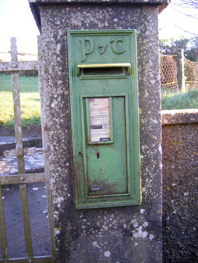 post boxpost box · 1411 yd
 Bawn in Grange (smallcounty By.)Bawn · 1.2 mi
 Lough GurVisitor information · 1.4 mi
 Grange Stone CircleArchaeological place · 1.4 mi
 Bawn in SkoolhillBawn · 1.6 mi
 Banoge's WellSpring · 1.6 mi
 Skool HillMountain / peak · 1.8 mi
 The SpectaclesVisitor information · 1.8 mi
 Lough Gur Heritage CentreVisitor information · 1.9 mi