What is recorded here
On the 1st ed. OS 6-inch map the area is depicted as an island surrounded by boggy marshland at the base of the NW slopes of Dranagh Mountain at the S end of the Blackstairs Mountains. An oval enclosure (dims. c. 36m N-S; c. 30m E-W) visible as a cropmark on Google Earth (imagery date 14 July 2018), identified and reported by Simon Dowling.
See attached Google Earth image (imagery date 14 July 2018)
Compiled by: Jean Farrelly
Date of upload: 28 January 2020
The monument record does not grant public access. Check the route and ask the landowner before entering private land.
- What survives
- Recorded monument
Places near here
 Enclosure in BallycrinniganEnclosure · 1057 yd
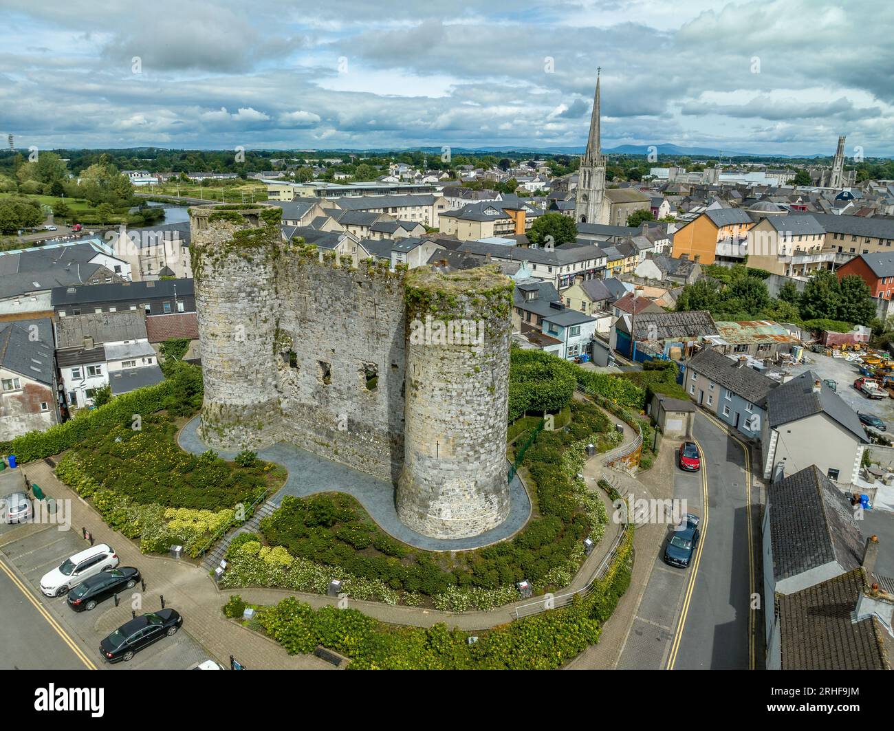 Enclosure in DranaghEnclosure · 1453 yd
 Saint Moling's Catholic Churchchurch/chapel · 1.2 mi
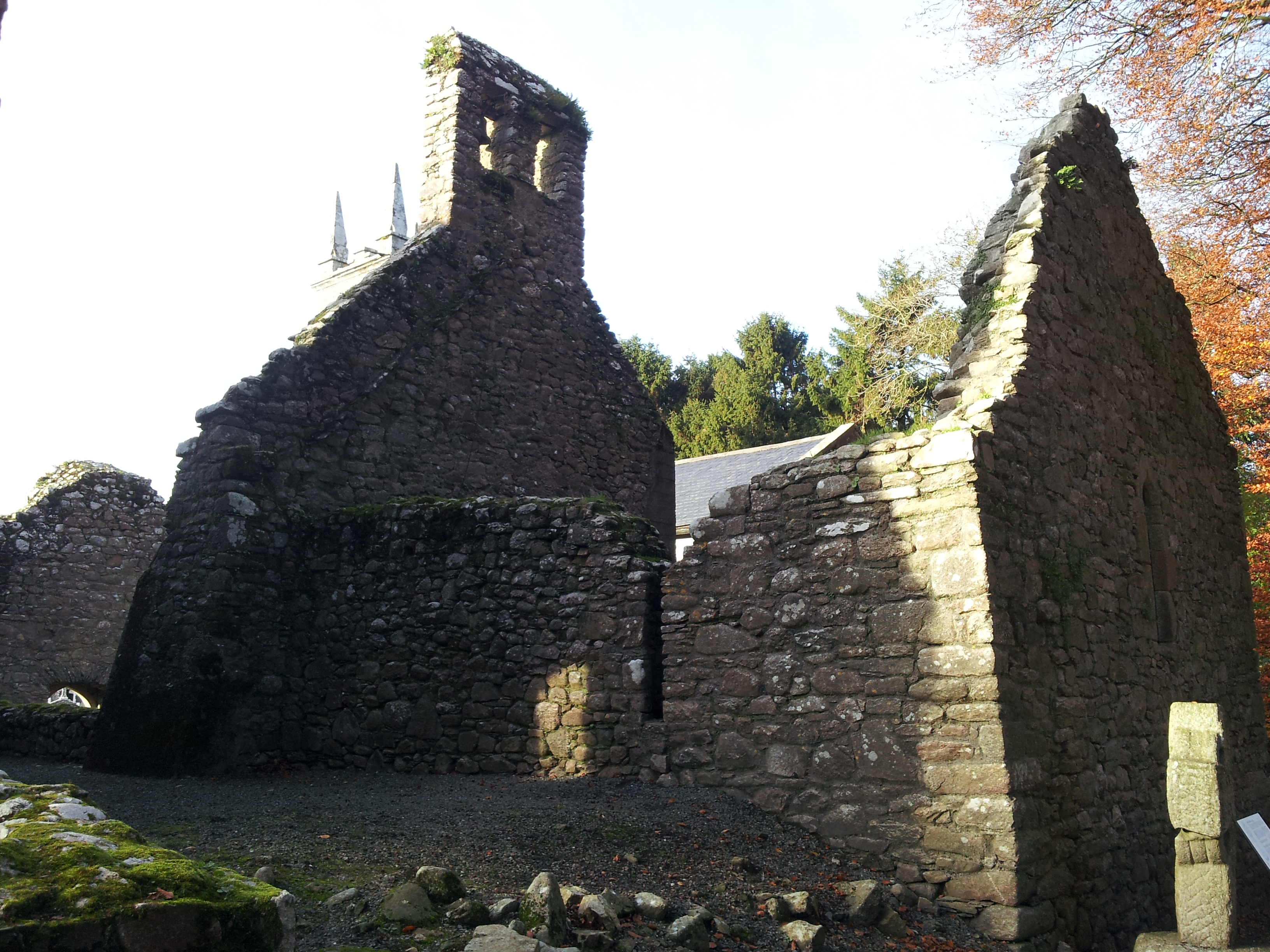 St. Mullins Oratory (in Ruins)Church · 1.4 mi
 CarrigvahanaghMountain / peak · 1.4 mi
 White MountainMountain / peak · 1.6 mi
 Graveyard in St. Mullin'sGraveyard · 2.2 mi
 St. Mullins MoatCastle, motte and bailey · 2.2 mi
 Bahana WoodForest · 2.3 mi
 Pollmounty Castle (in Ruins)Castle, tower house · 2.4 mi
 Silver WattleSilver Wattle · 2.4 mi
 1798 RebellionMemorial · 2.8 mi