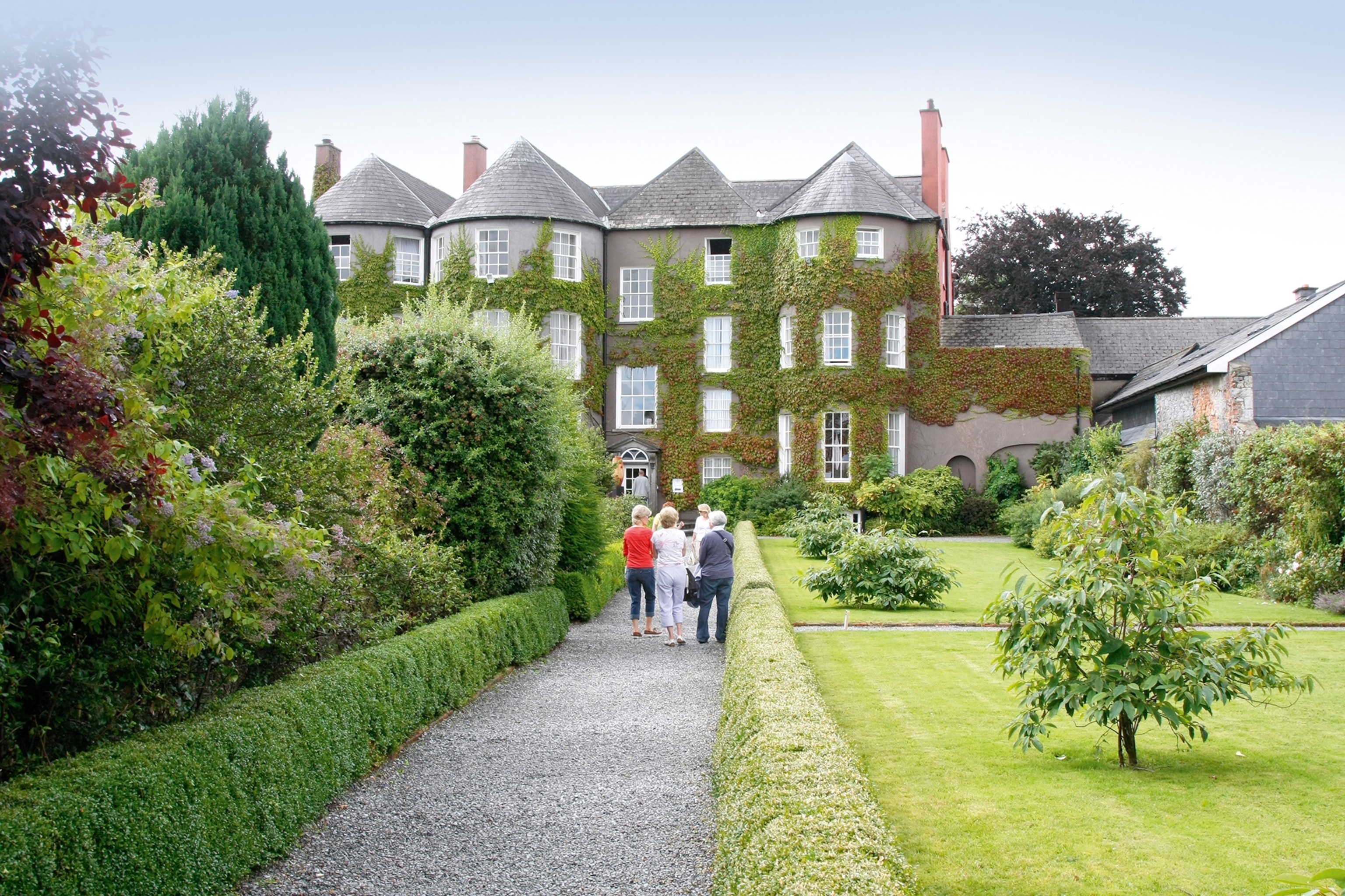
What is recorded here
On the flat low-lying valley floor c. 480m E of the River Nore, in reclaimed pasture and tillage. There are fair to good views across the valley. There is a ring-ditch (KK014-003002-) c. 50m to the NW. A circular area (diam. c. 37m N-S; c. 35m E-W), defined by a wide fosse with a gap at E, showing as a cropmark on aerial photographs (CUCAP BGG043, 16 July 1971 and BDI017, 14 July 1970; GB89.V.01, 13 July 1989) and on satellite imagery (Google Earth 28 June 2018). It is not visible at ground level.
See attached:
KK014-003001-_01 Google Earth image (imagery date 28 June 2018)
KK014-003001-_02 CUCAP BGG043, 16 July 1971
Compiled by: Jean Farrelly
Date of upload: 11 May 2020
The monument record does not grant public access. Check the route and ask the landowner before entering private land.
- What survives
- Recorded monument
Places near here
 Promontory fortPromontory fort, inland · 637 yd
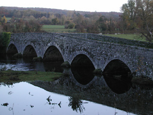 Threecastles Bridgebridge · 752 yd
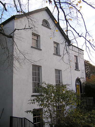 The Old Rectoryrectory/glebe/vicarage/curate's house · 860 yd
 Castle (in ruins)Castle, tower house · 883 yd
 Graveyard in ThreecastlesGraveyard · 891 yd
 Enclosure in ThreecastlesEnclosure · 927 yd
 IndicatedCastle, motte · 978 yd
 Turkey OakTurkey Oak · 1309 yd
 Jenkinstown ParkForest · 1.8 mi
 Saint Coleman's WellSpring · 1.8 mi
 Emma Jane Browne-ClaytonMemorial · 3.3 mi
 Freshford LoopWalking route · 3.6 mi
Other information
Photo: Credit not shown in the picture search · Rights wording not checked; contact us if this picture should be removed