What is recorded here
Situated on a gentle E-facing slope. Circular enclosure (diam. 18m) defined by a very slight bank, with an entrance gap (Wth 2.5m) at the NW. No trace of a fosse. It is at the centre of a curving field boundary which may form about two-thirds of an outer enclosing element (diam. c. 80m) indicated on the current OS 6-inch map.
The above description is derived from the published 'Archaeological Inventory of County Wicklow' (Dublin: Stationery Office, 1997). In certain instances the entries have been revised and updated in the light of recent research.
Date of upload/revision: 17 December 2008
The monument record does not grant public access. Check the route and ask the landowner before entering private land.
- What survives
- Recorded monument
Places near here
 Enclosure in KillegarEnclosure · 553 yd
 Enclosure in KilmalinEnclosure · 1003 yd
 Glencullen Bridgebridge · 1241 yd
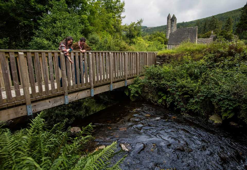 Anacrivey WoodForest · 1675 yd
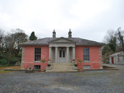 Glencullen Housecountry house · 1.2 mi
 Curtlestown WoodForest · 1.2 mi
 Barnaslingan HillMountain / peak · 1.3 mi
 Barnaslingan - Pine loop trailWalking route · 1.5 mi
 Barnaslingan - Scalp Lookout TrailWalking route · 1.5 mi
 Powerscourt EstateHeritage attraction · 1.5 mi
 Prince William's SeatMountain / peak · 1.6 mi
 Ballycorus castle Site ofCastle, tower house · 1.9 mi