
What is recorded here
Kiltennell and Ballinvally both carry small circular enclosures near their churches, visible only from above in aerial photographs. They may have marked burial grounds, meeting places or boundaries for local communities before roads and fields covered them. The circles still exist beneath grass and soil, waiting for someone to walk them and imagine the lives that shaped them.
Small circular enclosure visible on aerial photographs (CUCAP, BDS 36, 37) to NW of church (CW022-017001-).
Compiled by: Claire Breen
Date of upload: 19 August 2011
The monument record does not grant public access. Check the route and ask the landowner before entering private land.
- What survives
- Recorded monument
Places near here
 Font in Ballinvally AND KiltennellFont · 53 yd
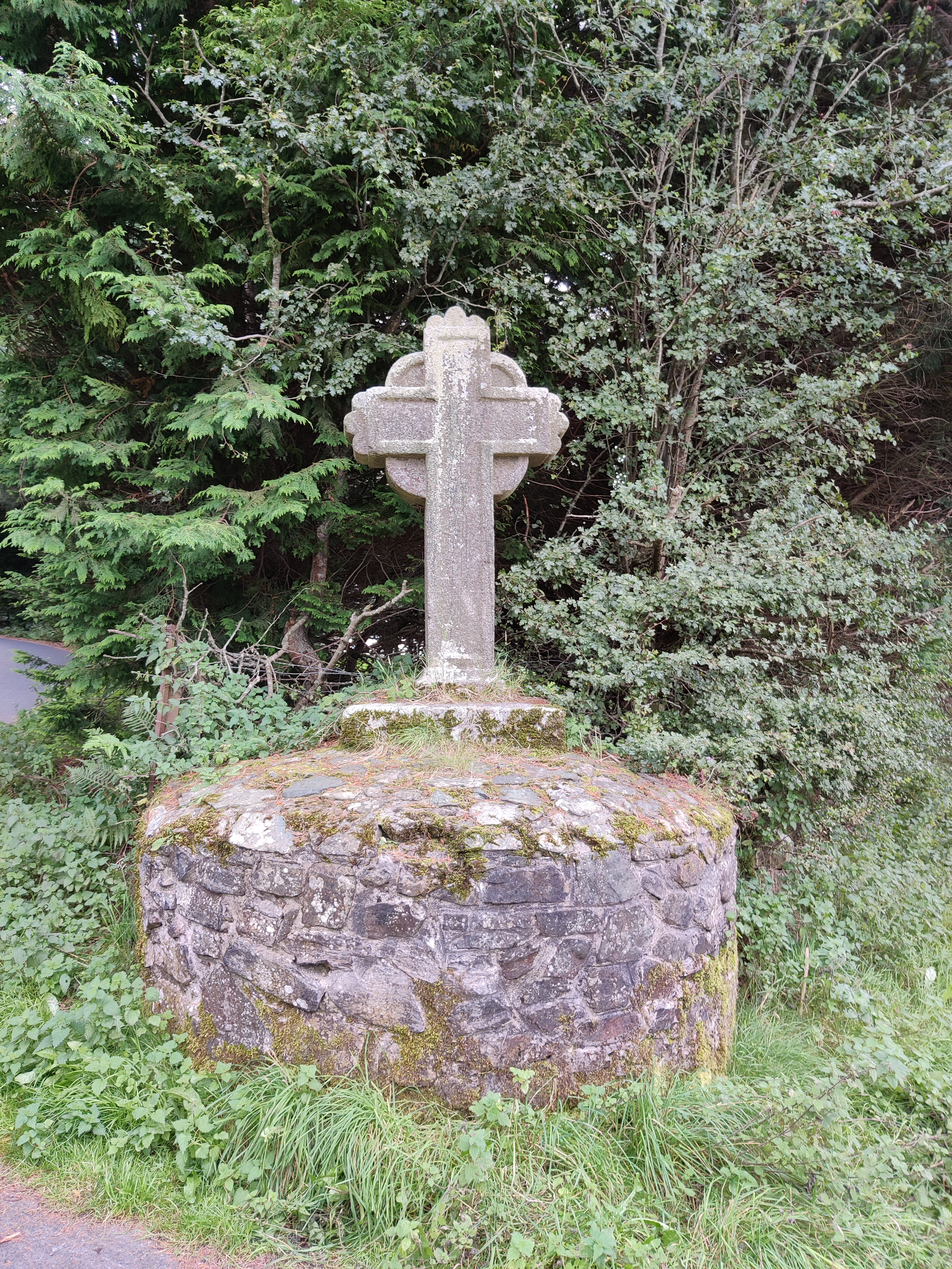 Stone CrossCross · 1033 yd
 Saint Peter's Church (Kiltennell)church/chapel · 1.2 mi
 Kilcoltrim Housecountry house · 1.4 mi
 Pedunculate OakPedunculate Oak · 2.3 mi
 Sweet ChestnutSweet Chestnut · 2.4 mi
 Kilcullaun Church (in ruins), GraveyardChurch · 2.6 mi
 SlievebawnMountain / peak · 3.5 mi
 KnockroeMountain / peak · 3.6 mi
 The Barrow WayVisitor information · 3.6 mi
 Site of CastleCastle, unclassified · 3.8 mi
 Castle (in ruins)Castle, tower house · 3.9 mi
Other information
Photo: Credit not shown in the picture search · Rights wording not checked; contact us if this picture should be removed