What is recorded here
The following description is derived from the published 'Archaeological Inventory of County Carlow' (Dublin: Stationery Office, 1993). diam. of largest (CW018-002001-) c. 25m NW-SE, of medium (CW018-002002-), c. 20m NW-SE; smallest (CW018-002003-) is indistinct).
From the National Monuments Service (Archaeological Survey of Ireland) record CW018-002001
The monument record does not grant public access. Check the route and ask the landowner before entering private land.
- What survives
- Recorded monument
Places near here
Photo credits
- Anna Maria 4574, Wikimedia Commons · CC BY-SA 4.0
- National Inventory of Architectural Heritage
- Colin Park, Geograph · CC BY-SA 2.0
- Hello, I am Bruce on Flickr, Wikimedia Commons · CC BY-SA 2.0
- Smirkybec, Wikimedia Commons · CC BY-SA 4.0
- Sitomon, Wikimedia Commons · CC BY-SA 2.0
- Theresa Bois, Wikimedia Commons · CC BY-SA 4.0
- Keogh Anna Maria, Wikimedia Commons · CC BY-SA 4.0
- Liam Hughes from Milwaukee, WI, USA, Wikimedia Commons · CC BY 2.0
- Andreas F. Borchert, Wikimedia Commons · CC BY-SA 4.0
- kevin higgins, Wikimedia Commons · CC BY-SA 2.0
- kevin higgins, Geograph · CC BY-SA 2.0
 Kilcarry BridgeBridge · 1.3 mi
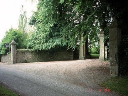 Sherwood Park HouseDemesne walls/gates/railings · 1.3 mi
 Altamont Gardens MapVisitor information · 1.5 mi
 Scots Pine1.6 mi
 ToberranananHoly well · 2.7 mi
 European Yew2.8 mi
.jpg/250px-Huntington_Castle,_Co._Carlow_(back).jpg "Photo: Theresa Bois, Wikimedia Commons · CC BY-SA 4.0") Huntington Castle & GardensHeritage attraction · 2.9 mi
Huntington Castle & GardensHeritage attraction · 2.9 mi Huntington CastleCastle · 2.9 mi
 Huntington CastleHouse, fortified house · 2.9 mi
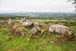 LabbanasigheWedge tomb · 3.4 mi
 GreenogeMountain / peak · 4.7 mi
 John's HillMountain / peak · 4.9 mi
More archaeology and monuments in County Carlow · All of County Carlow
What do you know about this place?