What is recorded here
In improved pasture, on a gentle E-facing slope. Monument identified by aerial photography (ASIAP (311)23, 13/04/2002). Circular area (dims. 21m E-W; 20m N-S) defined by remains of levelled bank (overall Wth 11.9m; Wth at top 3.5m; int. H 0.35m; ext. H 0.45m) SE-E and open (Wth 9m) at ESE. Remains of shallow fosse (overall Wth 9.5m; basal Wth 1.6m; D 0.3m) SE-E is best preserved S-N and peters out at either terminus. Possible remains of levelled causeway (Wth 2m) at WNW. Interior slopes down to E with prevalent slope. Monument incorporated into field as pasture. Enclosure (TS059-168----) is c. 84m to NNW.
Compiled by: Jean Farrelly
Date of upload: 26 August 2011
The monument record does not grant public access. Check the route and ask the landowner before entering private land.
- What survives
- Recorded monument
Places near here
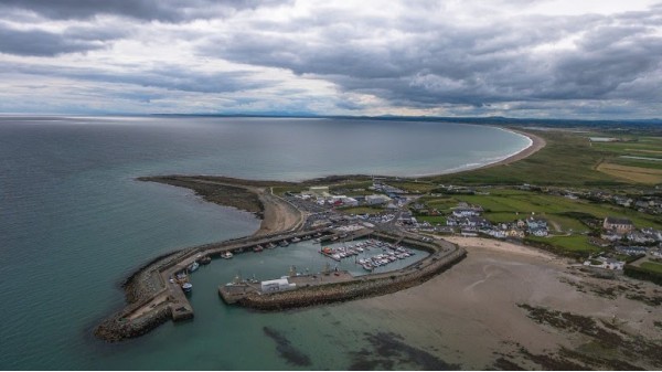 Enclosure in Kilmore UpperEnclosure · 851 yd
 Enclosure in Ballintemple (ballintemple Par.)Enclosure · 904 yd
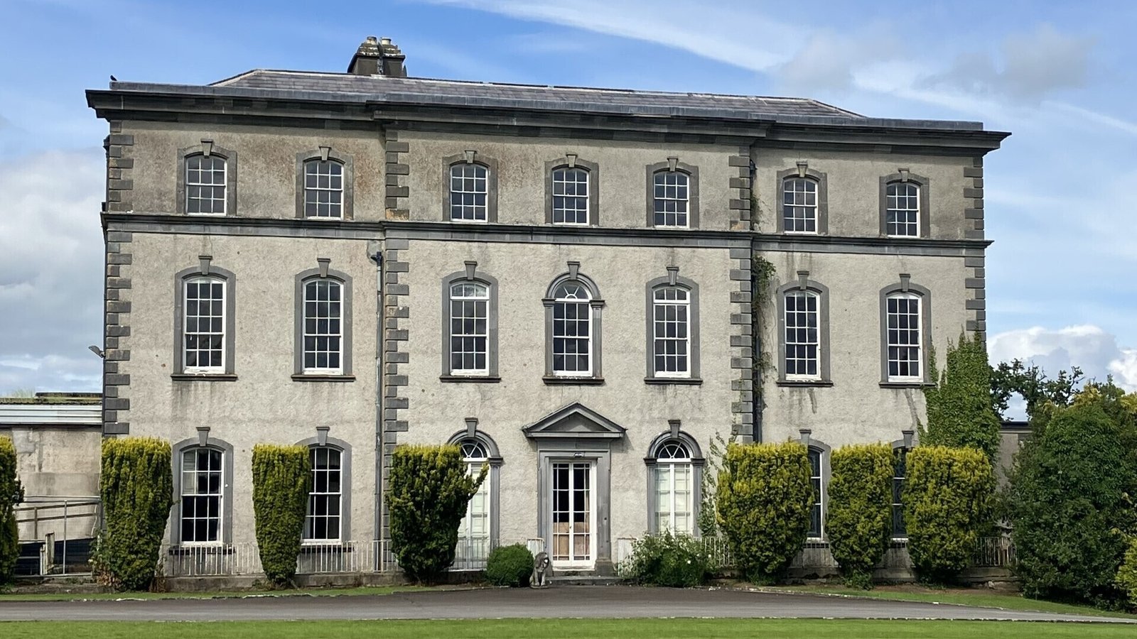 IndicatedCastle, ringwork · 905 yd
 DunnasgiathChurch · 1269 yd
 Church in Ballintemple (ballintemple Par.),dundrumChurch · 1316 yd
 Site of CastleCastle, unclassified · 1754 yd
 European ashEuropean ash · 1.7 mi
 Dundrum Woods (Marl Bog)Forest · 1.9 mi
 Athassel PrioryHeritage attraction · 4.2 mi
 Soloheadbeg Ambushambush · 5.0 mi
 I.R.A. 3rd. Tipperary Brigade MemorialMemorial · 5.6 mi
 It's a long way to TippereryHeritage attraction · 6.2 mi