What is recorded here
On a gentle S-facing slope in meadowland, in undulating terrain, c. 50m S of a ringfort (TS083-002002-). Enclosure (diam. c. 30m) dentified as a cropmark on aerial photograph (CUCAP July 1970 BDR 70). No visible trace of monument at ground level. Lush meadow may be obscuring any subtle features.
Compiled by: Jean Farrelly
Date of upload: 26 August 2011
This remains an important historical record, but the official description says the monument is no longer visible or has been destroyed. The monument record does not grant public access. Check the route and ask the landowner before entering private land.
- What survives
- No visible remains or recorded as destroyed
Places near here
 Patricks WellHoly well · 708 yd
 Church (in ruins)Church · 736 yd
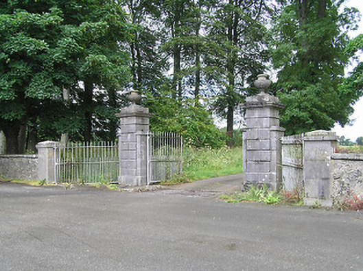 Ballingarrane Housegates/railings/walls · 805 yd
 Enclosure in Monkstown (inishlounaght Par.)Enclosure · 903 yd
 CastleCastle, ringwork · 1622 yd
 Common LimeCommon Lime · 1.3 mi
 Crusader's GraveHeritage attraction · 1.4 mi
 European ashEuropean ash · 1.4 mi
 Toberaheena WellSpring · 1.5 mi
 Greenan Castle (in Ruins)House, fortified house · 1.6 mi
 Siege of Clonmelsiege · 1.9 mi
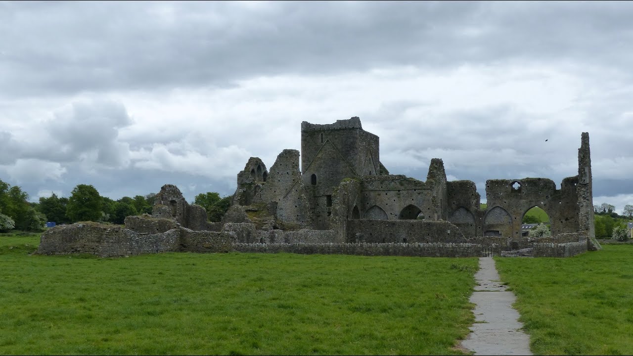 Gairdín Gharraí na LeadhbMemorial · 1.9 mi