What is recorded here
Natural hillock that appears to be of no archaeological significance. Potential cropmark of a levelled archaeological monument shows up on 1973 GSI aerial photograph (GSI N 557/6; N 577/8).
From the National Monuments Service (Archaeological Survey of Ireland) record OF002-014
The monument record does not grant public access. Check the route and ask the landowner before entering private land.
- What survives
- Recorded monument
Places near here
 Catholic Church of the Holy FamilyChurch/chapel · 710 yd
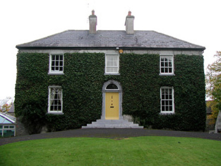 Tober HouseHouse · 781 ydHabitation site in ToberHabitation site · 1153 ydFulacht fia in Burrow or GlennanummerFulacht fia · 1155 ydGorteen CastleCastle, unclassified · 1512 ydMoyally Castle (in Ruins)Bawn · 1.2 miRoughan HillMountain / peak · 1.4 miToberaskeenSpring · 1.5 miKilmalady HillMountain / peak · 2.6 miCharles BianconiMemorial · 3.0 mi
 European ash6.7 miEuropean ash6.7 mi
Pictures: Trenchspike, Wikimedia Commons · CC BY-SA 4.0; National Inventory of Architectural Heritage; Willow, Wikimedia Commons · CC BY 2.5
More archaeology and monuments in County Offaly · All of County Offaly
What do you know about this place?