What is recorded here
Aerial photograph (GB89.AH13.) shows cropmark of a sub-circular enclosure defined by a fosse. Radiating fosses may represent an associated system.
Compiled by: Dr Gillian Barrett for the Archaeological Survey of Ireland.
Date of upload: 10 June 2009
The monument record does not grant public access. Check the route and ask the landowner before entering private land.
- What survives
- Recorded monument
Places near here
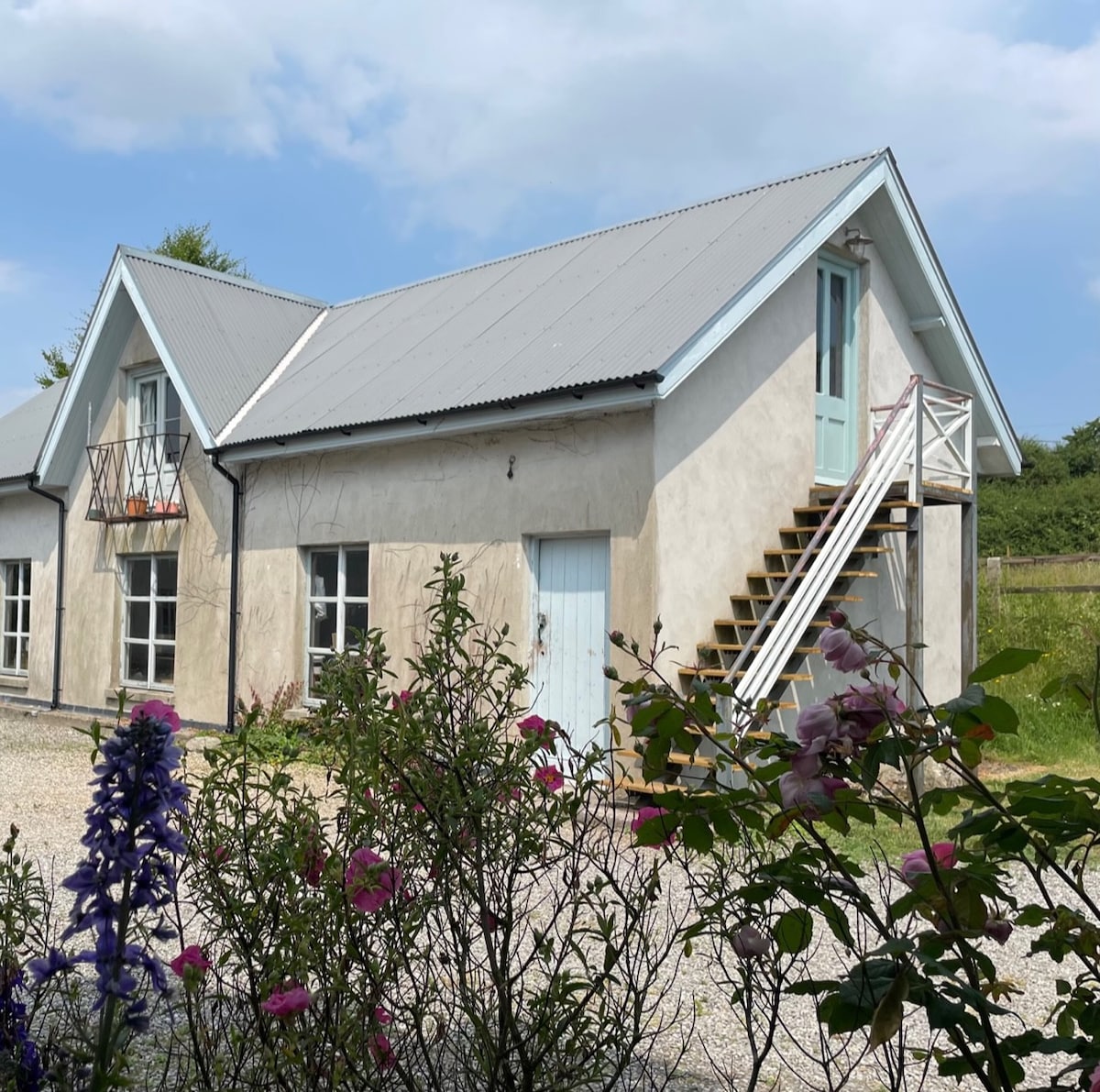 Enclosure in BallinadrumEnclosure · 372 yd
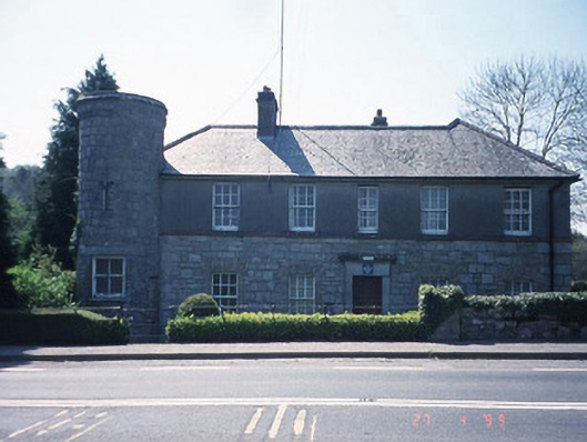 Ballon Garda Síochána StationRIC barracks · 465 yd
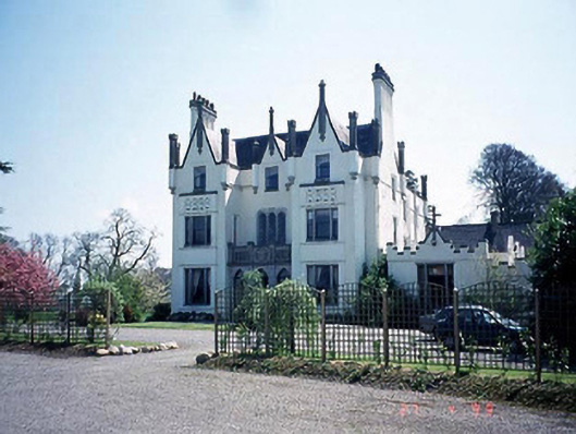 Ballykealey Housecountry house · 479 yd
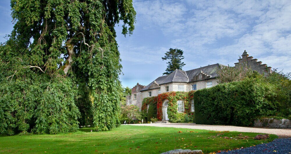 Enclosure in BallonEnclosure · 771 yd
 Church (in ruins), GraveyardChurch · 1023 yd
 Castlegrace MoatCastle, motte · 1.2 mi
 Scots PineScots Pine · 2.3 mi
 Altamont Gardens MapVisitor information · 2.4 mi
 Altamont House and GardensHeritage attraction · 2.4 mi
 Ballynunnery Castle in ruinsCastle, unclassified · 3.0 mi
 Kilmurry Church (in ruins), GraveyardChurch · 3.0 mi
 English hollyEnglish holly · 3.5 mi